Tectonics of the Antarctic-PDF
27,00 €
Tectonics of the Antarctic-PDF
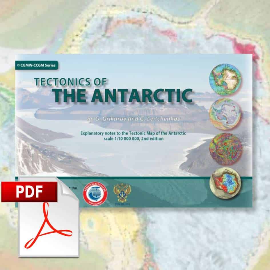
Explanatory Notes to “Tectonic Map of the Antarctic”, 1:10,000,000 Scale, Second Edition
Downloadable high resolution .pdf digital version
Note: This product is subject to a license agreement.
Authors: Garrik Grikurov & German Leitchenkov
Publishers: CCGM-CGMW
President: M. Pubellier, Secretary General: P. Nehlig, Deputy Secretary General: N. Ellouz-Zimmermann, former President: P. Rossi
Composition and design: C. François
English version.
Availability: In stock
Description
Tectonics of the Antarctic-PDF
The 1rst edition of Tectonic map of the Antarctic at 1:10 M scale was published by CGMW in 2012
Significant input of new data during the past decade stimulated upgrading of the 2012 map and preparation of the 2nd edition.
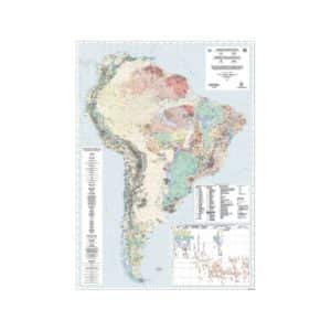
Design of the legend allows compact visual presentation of both geodynamic and age-related information. Map units are in the first place distinguished by the type of crust they represent, and by formation at plate boundaries or in within-plate settings.
Oceanic crust is mapped in accordance with the age of generation identified by magnetic anomalies. Archean complexes are grouped in a separate block of the legend believed to represent a primeval continental plutonic/metamorphic infrastructure (protocrust) lacking clear plate tectonics markers.
Proterozoic and Phanerozoic complexes are referred to either unstretched or stretched continental terranes.
Unstretched crust comprises accretionary fold belts (orogens), structural products of their reworking, platform covers and intraplate fold systems.
Stretched continental crust controls distribution of rift systems and associated sedimentary basins. A greater part of Antarctic continental margin belongs to a magma-rich type. Within lengthy zones contiguous to oceanic crust the continental crust is hyperstretched to the extent of unroofing the upper mantle.
Generalized view of Antarctic tectonic structures, including their inferred distribution under the ice sheet, is provided in a smaller-scale inset also showing the rates of sea-floor spreading and areas with thickened oceanic crust.
Tectonics of the Antarctic-PDF

