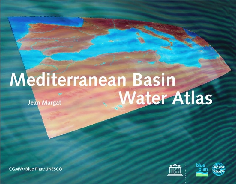
Mediterranean Basin Water Atlas
Water was the invaluable driving force behind the rise of the great civilisations of the Mediterranean basin in ancient times. Today, it remains a key factor in development, but some regions bordering the Mediterranean are facing shortages and inequalities in the distribution of natural water resources.
This atlas shows in cartographic images and key figures the extreme diversity of these resources, the specific needs of the Mediterranean people and the impact of water exploitation, sometimes abusive, on the environment.
The Commission of the Geological Map of the World (CGMW), a non-governmental scientific and educational organization founded in 1881, has the mission of producing international synthesis maps of the earth sciences, continents, regions of the globe and oceans. UNESCO's Division of Water Sciences is associated with the publication of this book.
The Blue Plan, the Regional Action Centre of the Mediterranean Action Plan, aims to provide the countries bordering the Mediterranean with useful information for implementing sustainable development. It publishes summaries and leads discussions and exchanges of experience on priority themes concerning past and future relations between Mediterranean populations, their socio-economic development and the environment.
www.unesco.org/publishing

