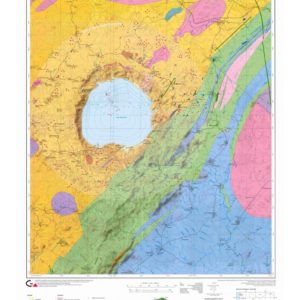
Tectonic map of the Alps
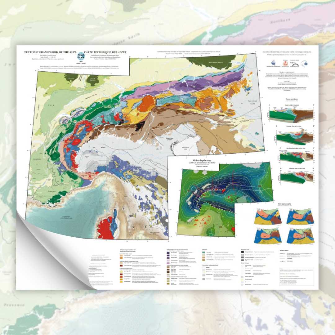
Covering an area from Corsica to the Vienna Basin (Austria), the Tectonic Map of the Alps is the first compilation on a millionth scale of the knowledge acquired on the different Alpine structural domains, on their tectonic relationships and on their paleogeographic origin.
Associated with the main map, a set of complementary documents broadens its reading field:
- A map relates the depths of the Moho to the geological domains;
- lithosphere-wide geological interpretations of the four Alpine seismic profiles (TRANSALP, NFP20 East, NFP20 West, ECORS-CROP);
- paleogeographic reconstructions of the western Mediterranean at 131, 94, 35 and 20 Ma.
- Tectonic map of the Alps
This compilation, based on the wealth of data accumulated on the Alps for more than 100 years, is also based on very recent work (e.g. Schmid et al., 2004; Ziegler and Dèzes, 2006; Handy et al., 2010).
This work, like the Metamorphic Map of the Alps (2012), is part of a general synthesis of geological, petrological and geophysical data acquired in the European Alps. In favouring this approach, it remains representative of a state of knowledge at a given moment, a state which leaves many questions open and which therefore constitutes only a fundamental element of future discussions. In this perspective, the Tectonic Map of the Alps proposes a global approach of the chain.
A website is dedicated to these cards: http://www.geodynalps.eu
Tectonic map of the Alps

