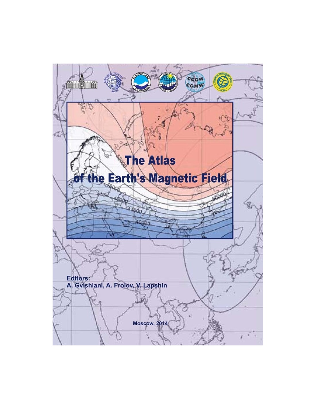
Atlas of the Earth's Magnetic Field - CD ROM
21,00 €
Atlas of the Earth's Magnetic Field
Atlas on CD-ROM in pdf format
Under the direction of A. Gvishiani, Russian Academy of Sciences (Centre of Geophysics), A. Frolov, V. Lapshin (E. Fedorov-ROSHYDROMET Institute of Applied Geophysics)
English version produced with the support of the European Geosciences Union, CODATA and CCGM
Geophysical Center-Russian Academy of Sciences and Fedorov Institute of Applied Geophysics ROSHYDROMET, 2013
Availability: In stock
Description
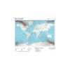
The Atlas of the Terrestrial Magnetic Field (ATMF) brings together physical, geographical, thematic and historical information for a detailed study of the Earth's magnetic field over the period from 1500 to 2010. This Atlas has been designed for scientists, teachers and specialists in the various fields of geosciences, including geologists and geophysicists who study terrestrial magnetism.
It is a unique cartographic product that presents the most complete and scientifically established data on the Earth's magnetism, and the results of historical and modern studies on the Earth's magnetic field. This research was supported by CODATA (International Council for Science: Committee on Data for Science and Technology).
Atlas of the Earth's Magnetic Field
Global modelling of the Earth's magnetic field is one of the main areas of research in geophysics. The geopotential field, coupled with data obtained from the analysis of seismic waves, is one of the most comprehensive sources of information on the structure and composition of our planet, as well as on the evolutionary processes involved.
Temporal and spatial models of the magnetic field also provide additional information needed for navigation, geodesy and the study of ocean circulation and sea level variations.
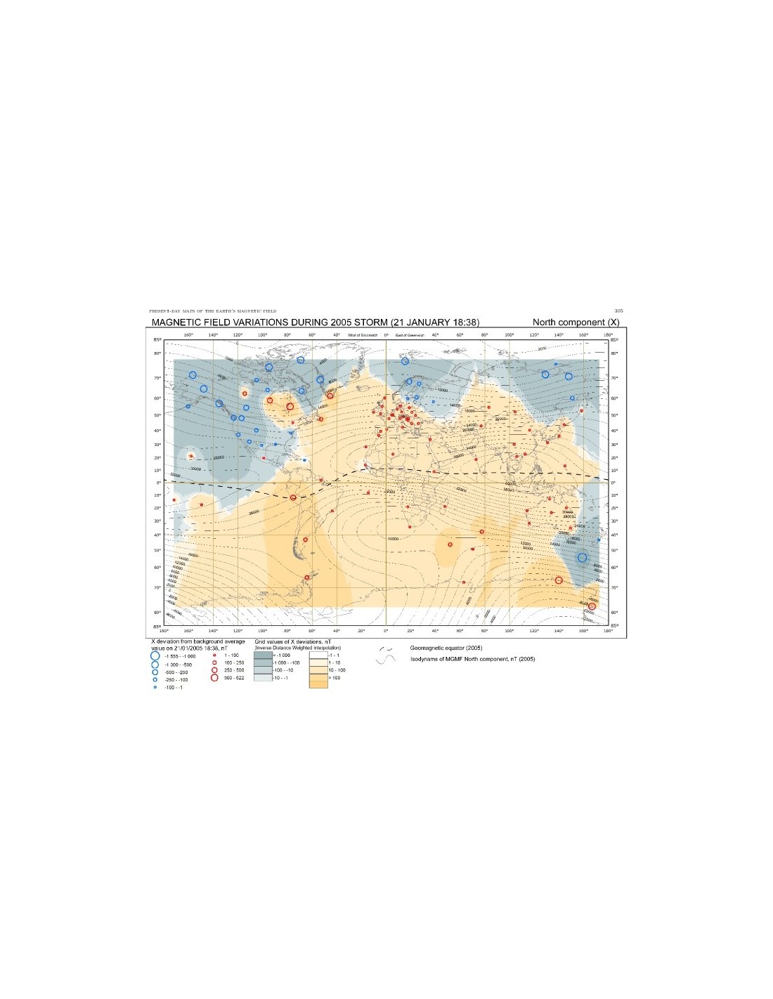
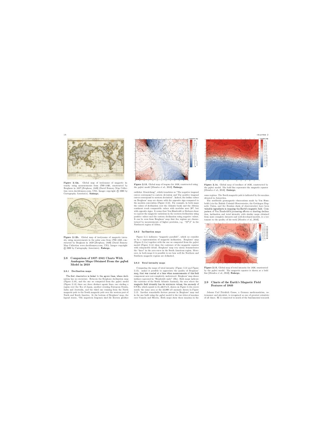
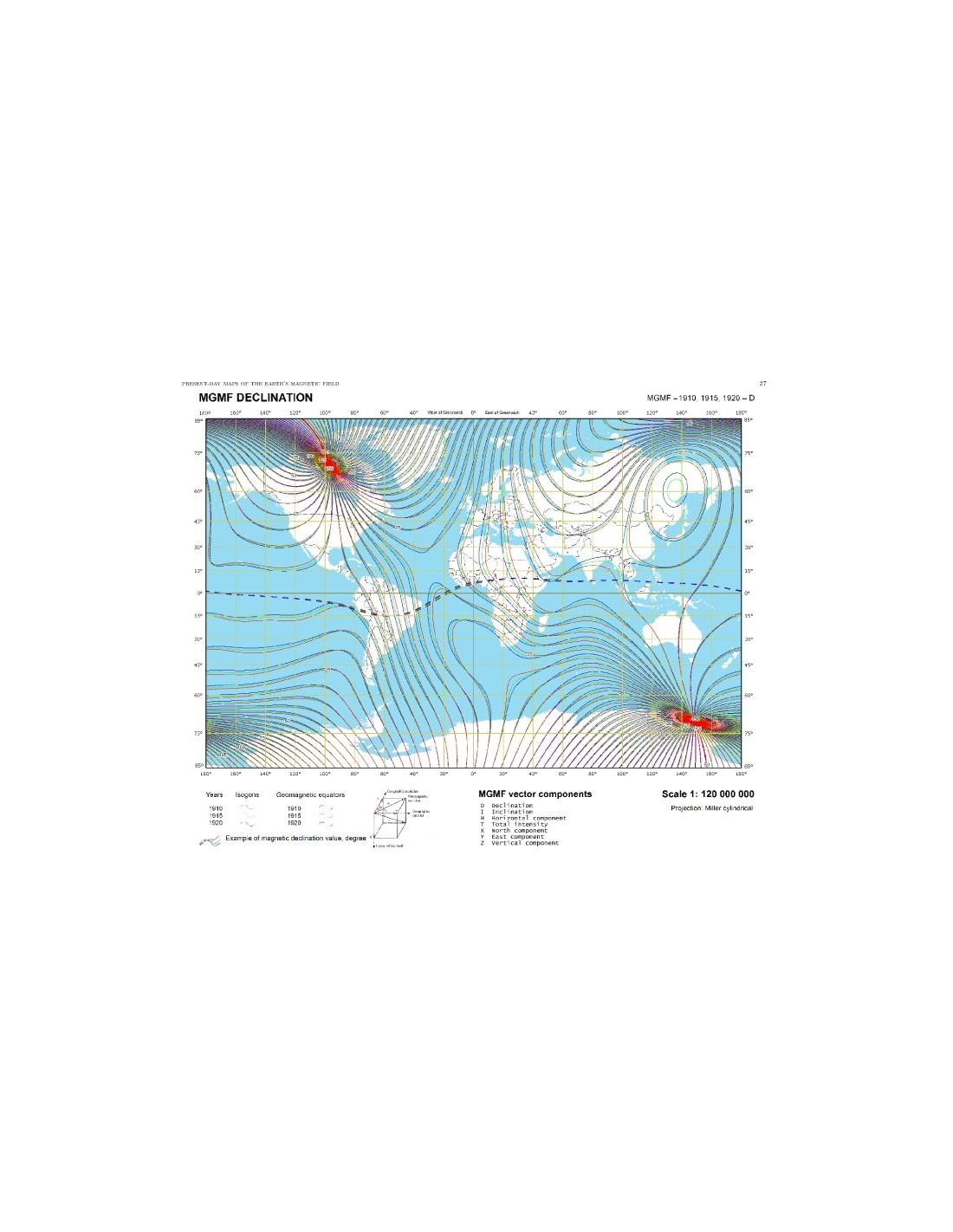
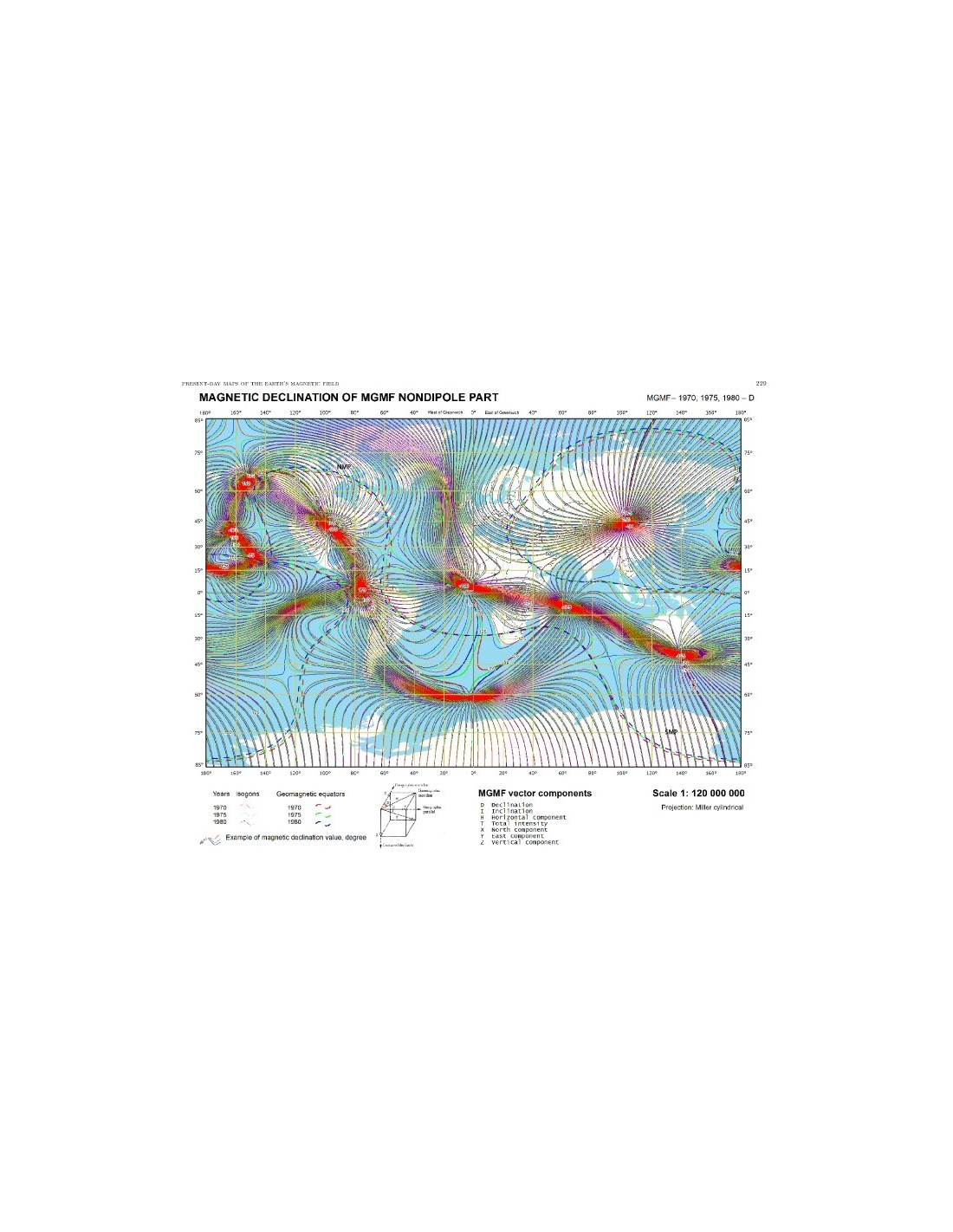
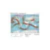
For the Atlas of the Terrestrial Magnetic Field project, the authors have developed innovations in digital mapping of the Earth's magnetic field (CMT). The result is a series of digital CMT charts listing all the characteristics specific to the phenomenon being mapped. These include charts of the Main Magnetic Field (MMF), CMT anomalies, spatial data, cyclic variations and other data.
The digital thematic charts of the CMP components relate to the different magnetic epochs and take into account the results of historical and instrumental observations. These charts are an effective way of presenting and exploring the CMP and its evolution over time. Generally speaking, these charts can be found both in the form of individual cartographic work and in the form of a collection. This Atlas of the Terrestrial Magnetic Field is an example of the latter.
The authors used professional tools, including the ArcGIS programme, to produce the CMT charters, which were then converted into raster and vectorised maps. In this way, the charters of the components of the CMP and their secular variations, the isolines and the non-dipole components of the CMP were transformed into raster and individual images. The boundary lines shown in the charts in sections 1.1 to 1.4 are those of 2010.
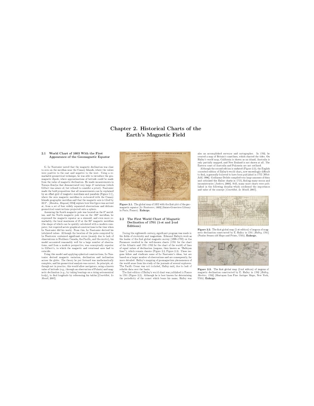
The Atlas of the Terrestrial Magnetic Field also includes historical charters that begin with the 1603 world map drawn by Guillaume Le Nautonier, where the magnetic equator appears for the first time, followed by a series of charters drawn in 1862 by F. A. Garnier, which provide a historical and scientific contrast between their views and those of modern charters. To help understand the history and process of magnetic surveying, other maps in this Atlas show the dynamic growth of observation networks since 1813. This work bears witness to the great scientific advances made in our knowledge of terrestrial magnetism.
Atlas of the Earth's Magnetic Field
Authors:
A. Soloviev, A. Khokhlov, E. Jalkovsky, A. Berezko,A. Lebedev, E. Kharin, I. Shestopalov, M. Nisilevich,V. Nechitailenko, A. Rybkina, O. Pyatygina, A. Shibaeva, Geophysical Centre of the Russian Academy of Sciences.
V. Kuznetsov, T. Bondar, N. Pushkov, Institute of Terrestrial Magnetism, Ionosphere and Radio Wave Propagation of the Russian Academy of Sciences)
M. Mandea, Centre National d'Etudes Spatiales, France.
J. Mabie, US NOAA National Geophysical Data Center.

