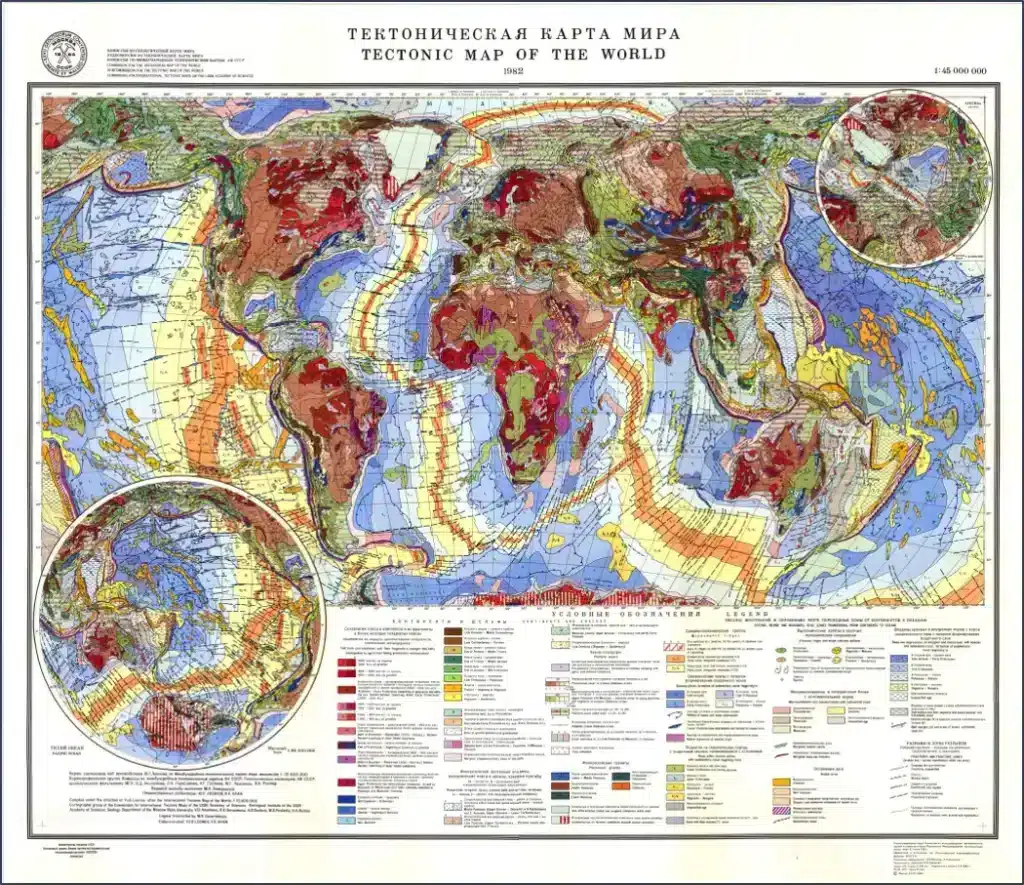
The CGPC is responsible for compiling the new Tectonic Map of the World at 1/35M scale (TeMaW) as part of the DDE programme. The previous tectonic map of the world (scale 1/45M) was compiled by the Tectonic Map Subcommission, under the leadership of Academicians V.Khain and Y. Leonov in 1982.
The new tectonic map should be designed as a modern geoinformation system, which will unite various thematic layers such as magnetic and gravity anomaly maps, crustal thickness and sedimentary cover maps, a schematic map of modern seismicity, etc.
1982 Tectonic Map of the World
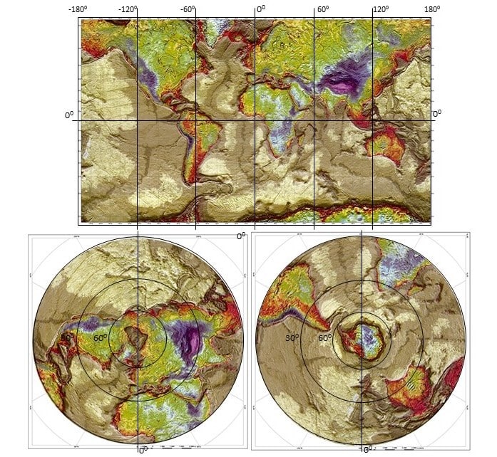
Gravity anomaly map
The GIS project of the new tectonic map will be based on the 1/35M scale Geological Map of the World, produced by the CGMW in 2014. As has been done in the past, we plan to create the tectonic map in a spherical Mercator projection as well as a polar stereographic projection for the northern and southern hemispheres.
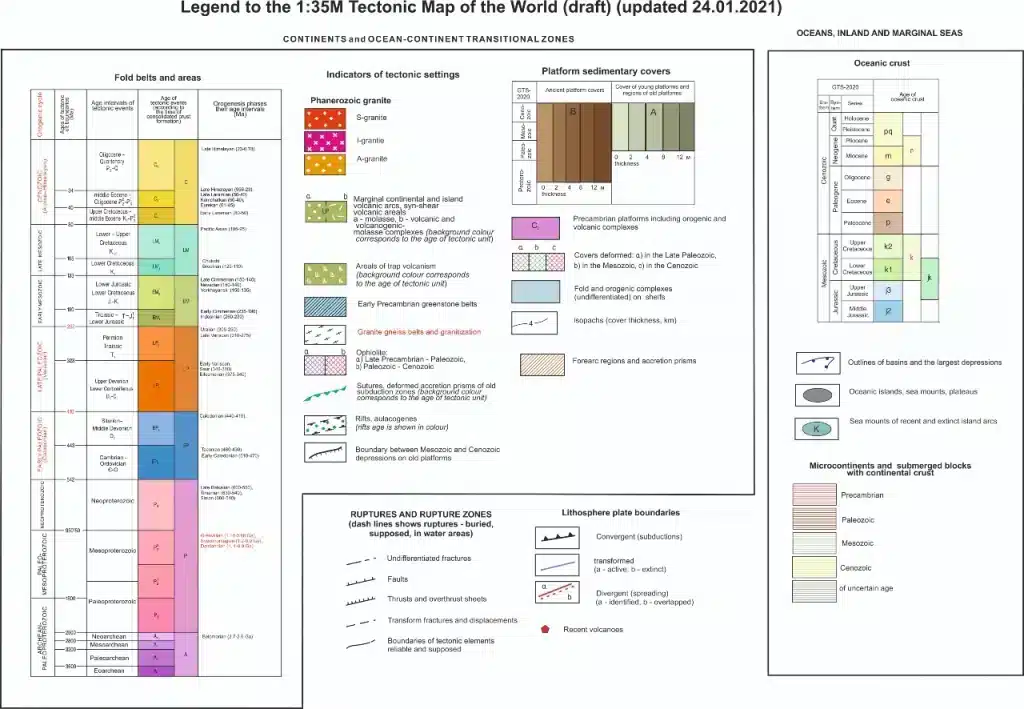
The legend of the new map will be based on the legend of the old
tectonic map by V. Khain and Y. Leonov as well as on the modern principles
principles used in the development of the legends for the Arctic Tectonic Map and the
Tectonic Map of the Arctic and the Tectonic Map of Asia, taking into account
the 1/35M scale.
Legend for the new tectonic map
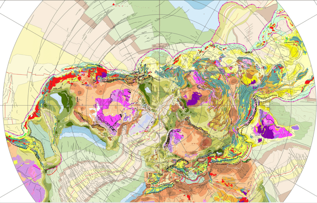
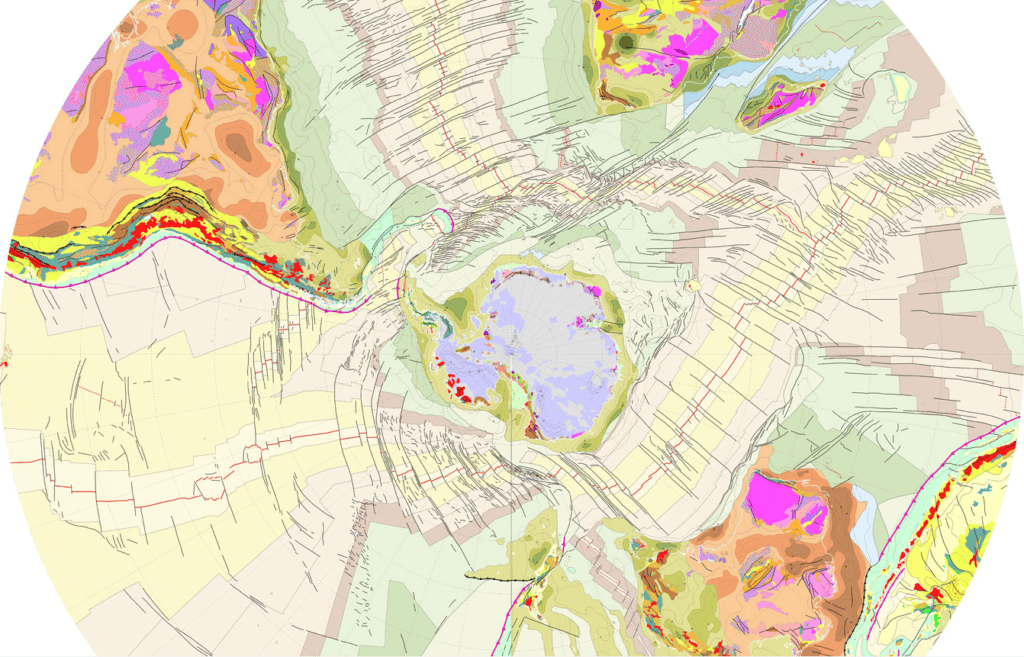
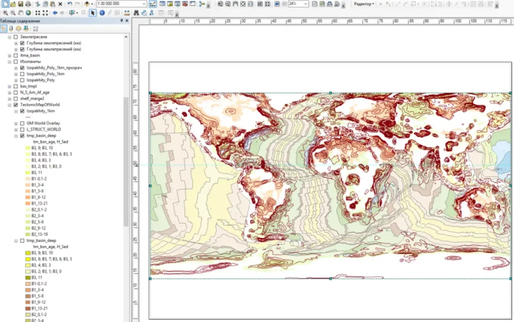
GIS project of the new tectonic map
The compilation of the new tectonic map is done under the direction of the Subcommission of Northern Eurasia (O.V. Petrov, Vice Chairman, T.Y. Tolmacheva, General Secretary), the Subcommission of Tectonic Maps (A.I. Khanchuk, Chairman, I.I. Pospelov, General Secretary), and the Chairman of the CGMWC, Dr М. Pubellier at the Russian Geological Research Institute (VSEGEI).
Specialists from different geological surveys of the world, national academies of science, universities, participants of previous international projects, authors of tectonic maps for other parts of the world - North and South America, Africa and Antarctica will also be involved.
The compilation of the new tectonic map, in the form of a 3D geo-information system with various thematic layers, will ensure the modern reflection of the deep structure of the Earth, its compositional, sedimentary and geodynamic features and the reconstruction of its tectonic structure. The map will also contribute to attracting a wide audience to the development of Earth sciences and could be used for scientific and educational purposes.