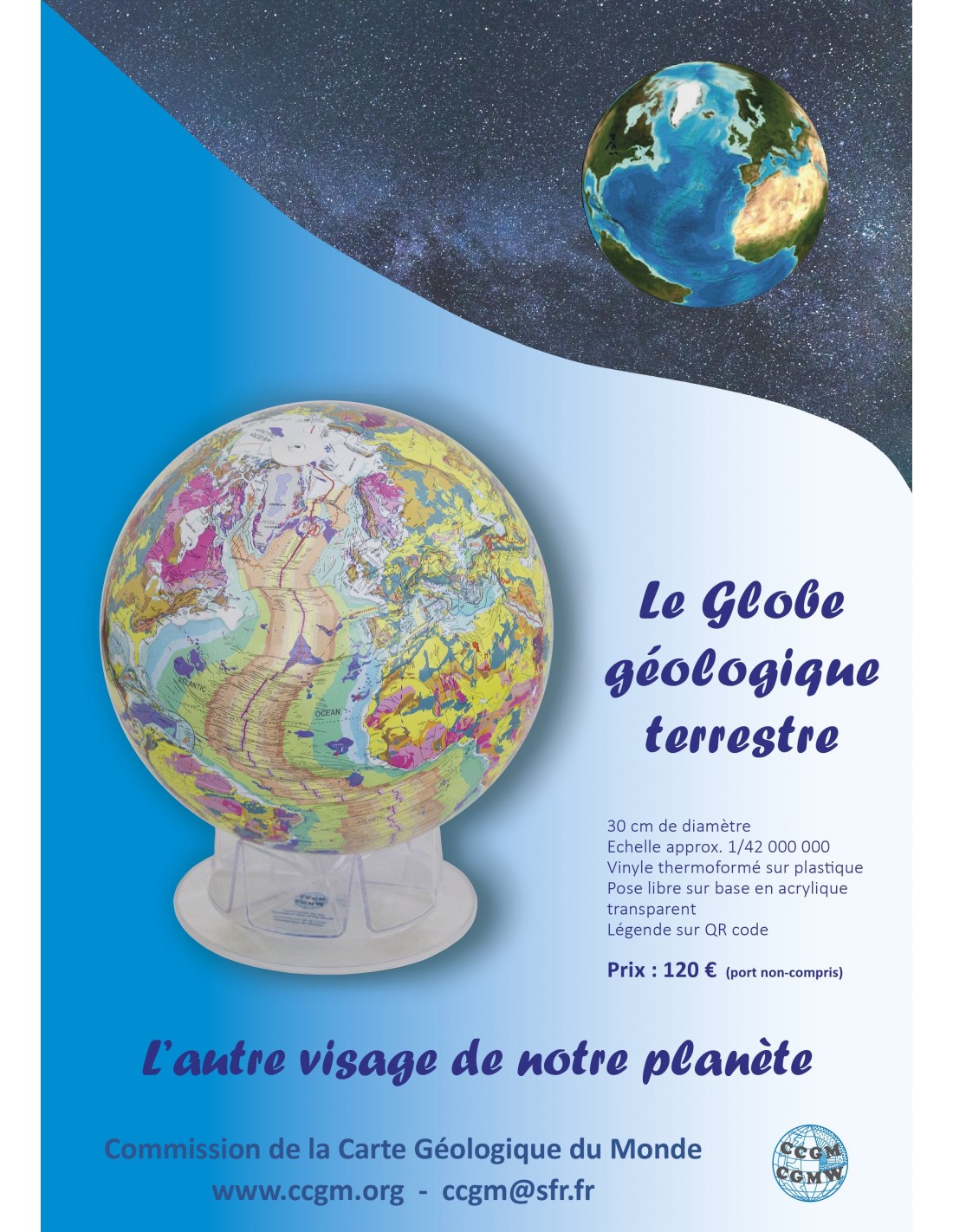
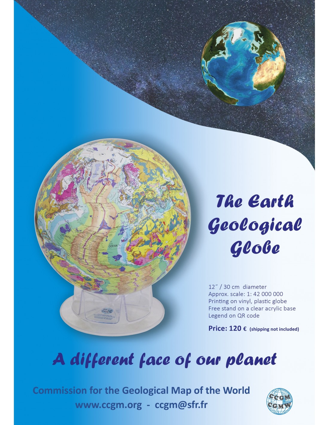


Geological Globe (CCGM)
126,00 €
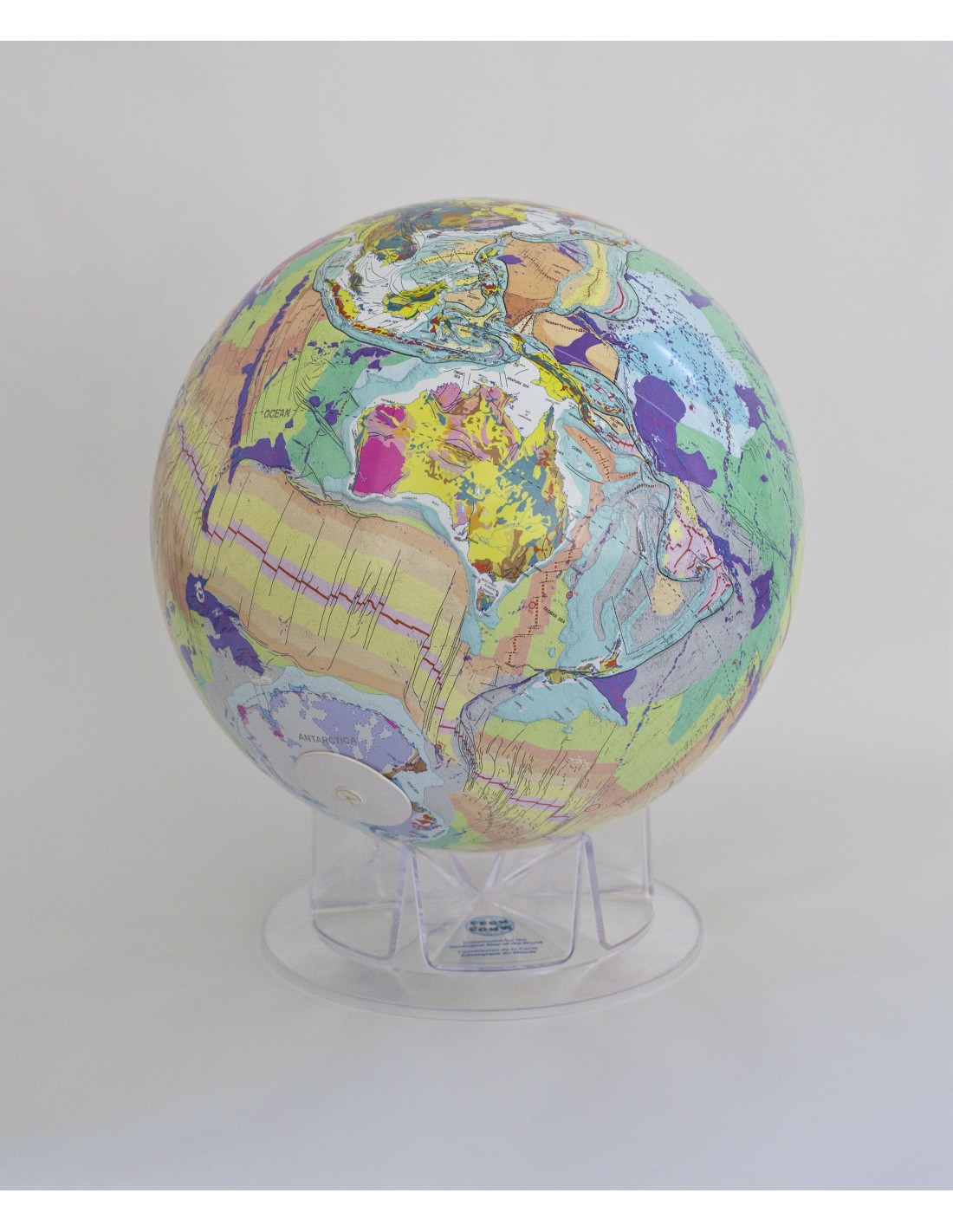
Geological globe
30 cm/12" diameter
Scale approx. 1:42 000 000
Plastic globe, printed on thermoformed vinyl paper (2 hemispheres to assemble)
Free standing on transparent acrylic base (included)
Manufactured for the GMPCC by Replogle
CCGM-CGMW 2018, Paris, France
To order the globe+maps, please place a specific order for the globe.
Geological globe
Availability: In stock
Description
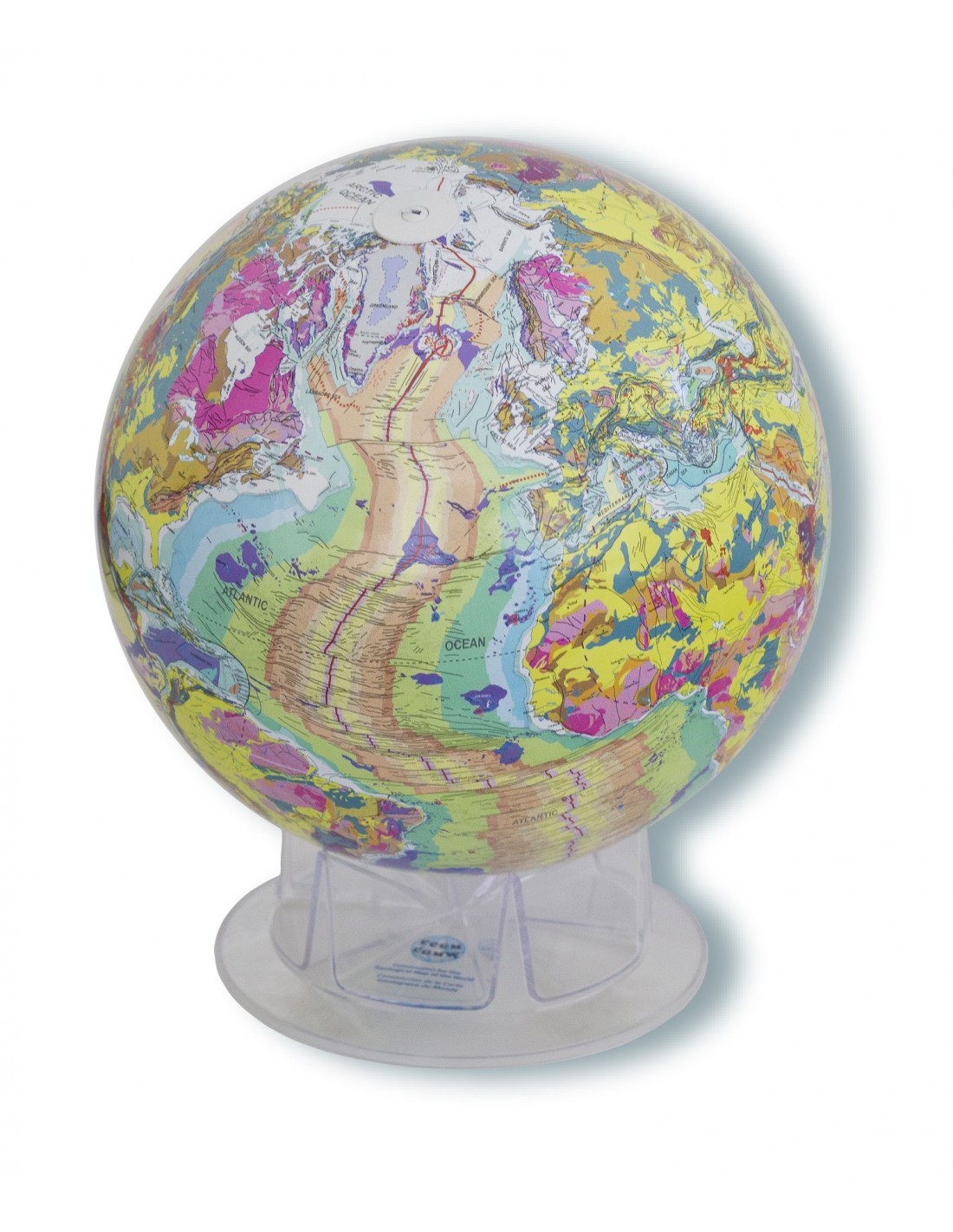
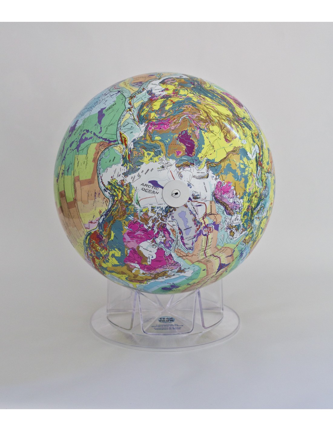
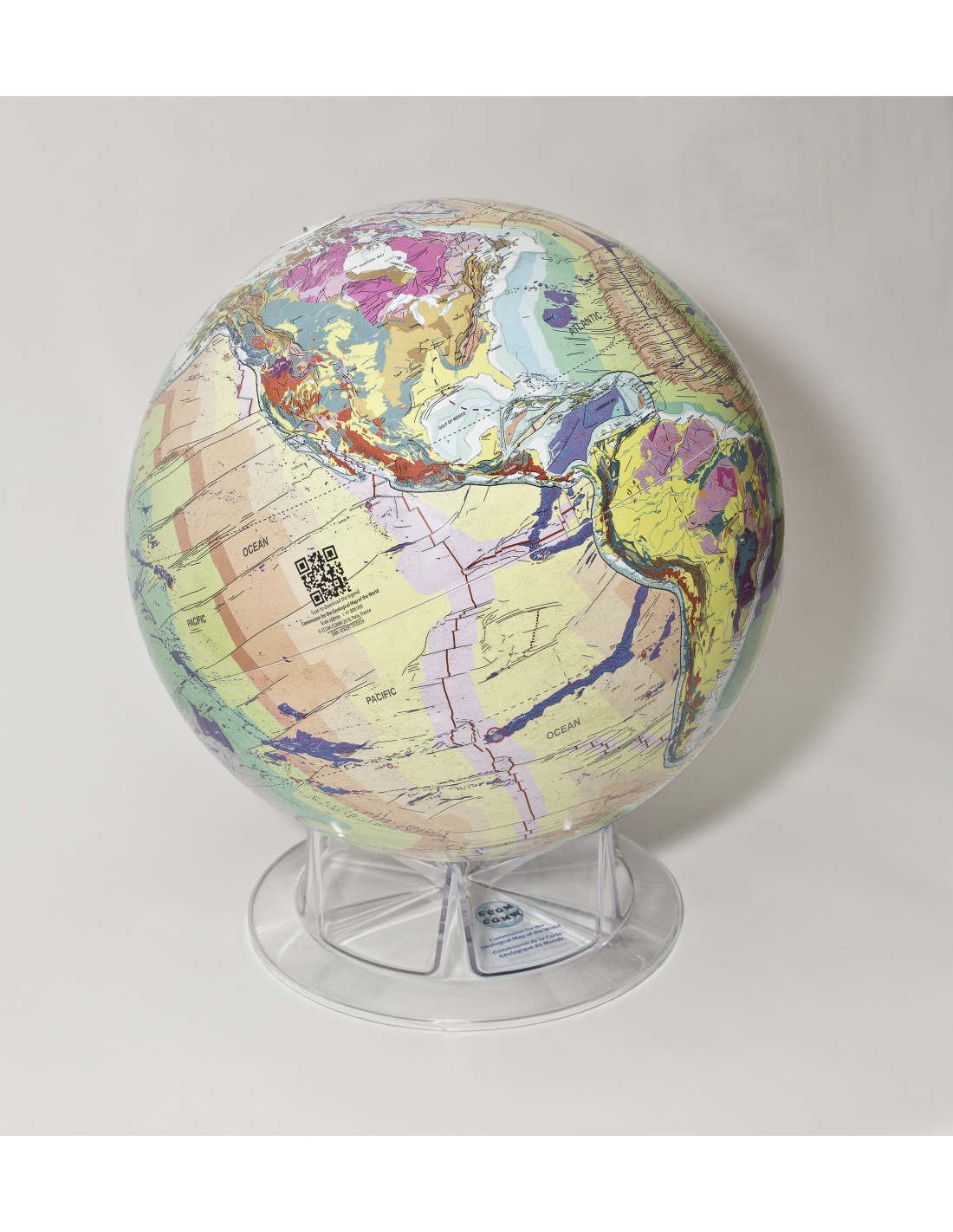
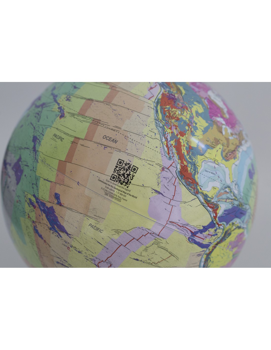
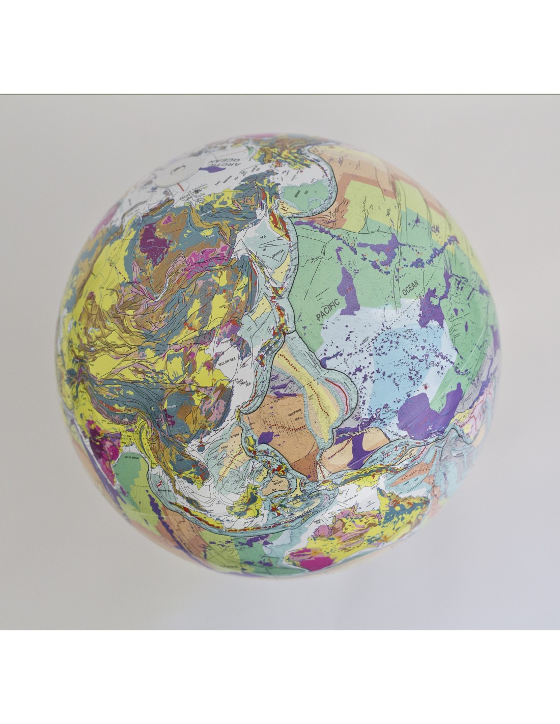
The Geological globe is based on the 3rd revised edition of the Geological Map of the World at a scale of 1:25 million, published in 2014 by the Commission of the Geological Map of the World (CCGM). With a completely new design and cartography, the globe reflects the state of knowledge on the geology of our planet in the 21st century. This work is a synthetic compilation essentially intended for educational purposes and aims to give a better global visualization of the mega-structures and large geological ensembles that result from the events that have marked the 4 billion years of our planet's complex history.
Geological globe
The following is a summary of the main geological units and features:
- 8 major stratigraphic units, from most recent to oldest: 1= Cenozoic; 2= Mesozoic; 3= Upper Paleozoic; 4= Lower Paleozoic; 5= Neoproterozoic; 6= Mesoproterozoic; 7= Paleoproterozoic; 8= Archean (> 2.5 billion years old) ;
- the "Large Magmatic Provinces" (LIP) corresponding to large-scale magmatic pulses (continental trapps and "oceanic shelves"), with an indication of their average age and the extension of the "Central Atlantic Magmatic Province" zone has been drawn;
- the representation of the Meso-Cenozoic ophiolites, highlighting the suture zones;
- areas where the basement under the Antarctic and Greenland ice sheets is depressed below sea level;
- the continental shelf (depth < 200 m) and, consequently, the continental slope;
- the continental crust/oceanic crust (OCB) boundary;
- active subduction zones; ages and shapes of back-arc basins;
- the thrust fronts of the great orogens;
- the axes of the oceanic expansion ridges (active and fossil) marking the boundary between two divergent lithospheric plates;
- subduction zones representing the convergence of two plates and the fronts of large prisms of sedimentary accretion;
- transform faults which are a type of plate boundary between the axes of ridges and subduction zones; oceanic fracture zones, the 'scars' of transform faults;
- zones of deformation of the oceanic crust (diffuse boundary) between certain lithospheric plates;
- abnormal" oceanic morphostructures (seamounts, "asismic" ripples, oceanic plateaus, traces of "hot spots", etc.);
- the location of submarine volcanic sequences linked to the opening of the North and South Atlantic Oceans (SDRs = Seaward Dipping Reflectors);
- 45 "hot spots", subdivided into 4 categories; the mapping of the traces of 6 hot spots, with indication of the age of a certain number of milestones allowing to visualize the progression of the plate
The Geological globe is a unique and first-class educational tool that allows a quick visualization of the major plates and subplates of global tectonics.
Geological globe
Authors
Philippe Bouysseretired marine geologist from the Bureau des Recherches Géologiques et Minières (BRGM) and former Secretary General of the Commission for the Geological Map of the World (1990-2000), currently Scientific Advisor to the CCMG. Conception, synthesis and drawing of the original map.
Bruno VrielynckThe geologist and palaeographer of the Institut des Sciences de la Terre de Paris (Istep), Sorbonnes Universités/UMPC, carried out in 2017 the complete restructuring and improvement of the GIS geo-database of the Geological Map of the World at 1:35 M.
Alain Rabaute (GeoSubsight), geologist and GIS expert at the Institut des Sciences de la Terre de Paris (Istep), Sorbonnes Universités/UMPC, has carried out the cartographic and graphic adaptation of the Geological Map of the World geo-database for the production of the Geological Globe of the Earth.
The manufacture of the globe was entrusted to the company Replogle Globes Partners LLC (Illinois, USA), world leader in the publishing and production of globes.
Geological globe
Informations complémentaires
| Weight | 1,5 kg |
|---|---|
| Dimensions | 30 × 30 × 15 cm |
| Packaging | |
| Weight | |
| Scale | |
| Diameter |


