A new look for our website! 🌱
As part of our commitment to the environment, we are in the process of switching to a more environmentally-friendly hosting provider. The site is currently being prepared for this transition.
Orders are temporarily suspended while the migration is finalised.
Thank you for your patience and support.
We look forward to seeing you soon with an even more ethical and efficient site!
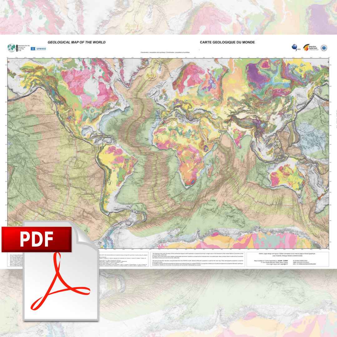
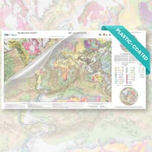
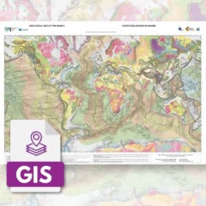
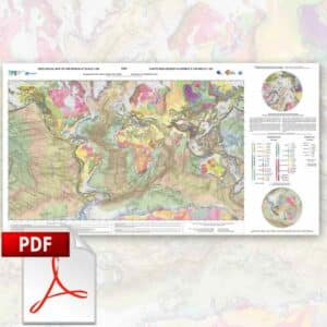
Geological map of the world at 1:35 M-PDF
158,00 €
Geological map of the world at 1:35 M-PDF
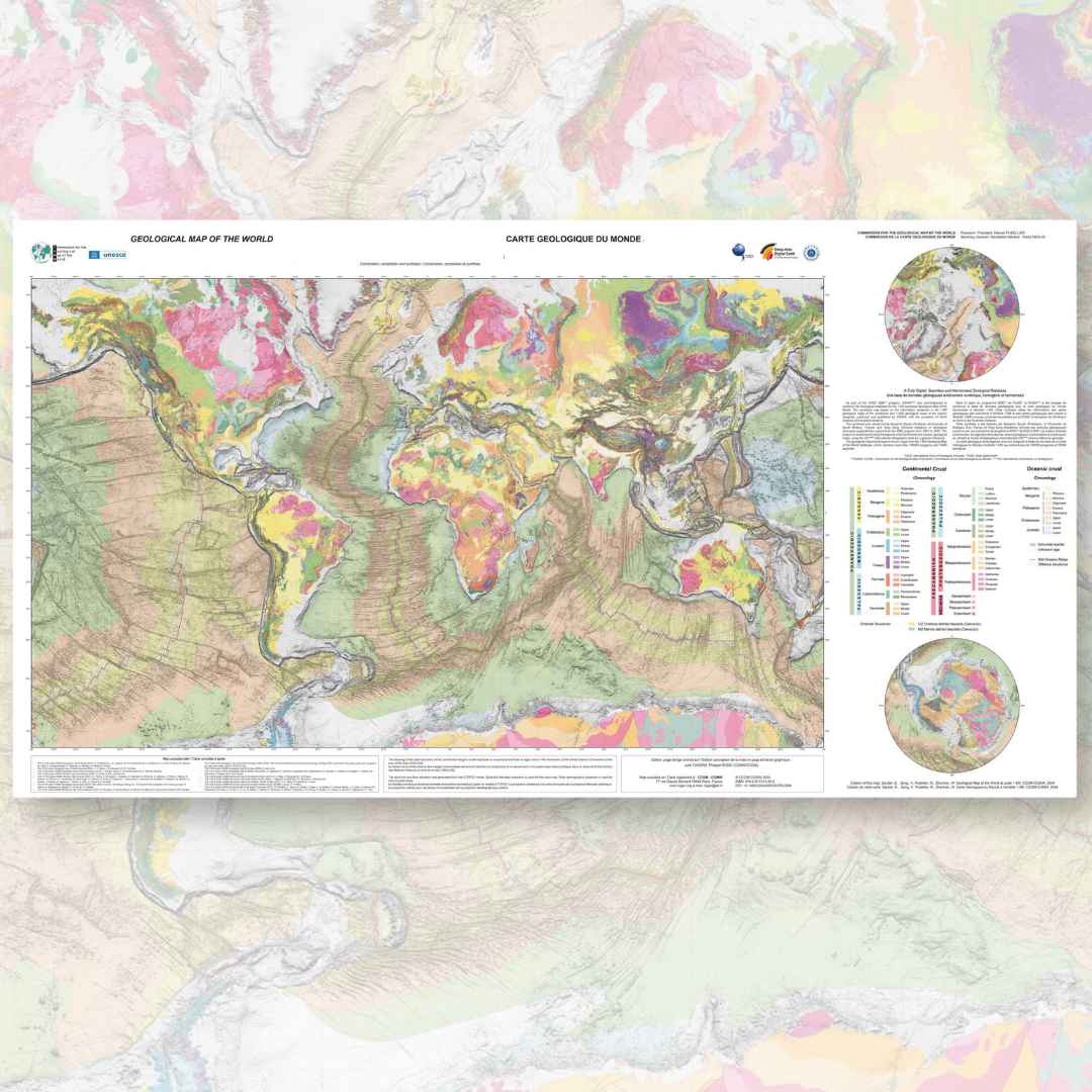
3rd revised edition (2014)
Scale: 1/35 000 000
Main map projection: Mercator
Circum-polar area projection: polar stereographic
Dimensions: 118 x 98 cm, 1 sheet
Geology, structure (Atlantic-centric)
Author: Philippe Bouysse (CCMG) et al.
Scanned version in high resolution .pdf format, sent by download link.
Description
Geological map of the world at 1:35 M-PDF
Note: This map is subject to a licence agreement.
This new edition (August 2014) includes the 3rd edition of the Geological map of the world originally published at scales of 1:25,000,000 (3 sheets) and 1:50,000,000 (1 geological sheet), which are now out of print.
The presentation of this new version, centred on the Atlantic, has been completely redesigned so that it fits on a single sheet and has improved legibility compared to the 1:50 000 000 version.
From a content point of view, the new 1:35 M-PDF Geological Map of the World corrects the infographic errors of the 2010 editions and, above all, enhances the existing geological data by means of a shaded and monochrome physiographic background, which is more subdued on the continents than on the oceans. As with the 2010 version, it takes into account the state of knowledge on the geology of our planet at the turn of the 20th and 21st centuries.
Colour changes of some major geological units have been made: Cenozoic volcanism; trapps; oceanic plateaus, hot spot tracks and seamounts. The representation of thrust fronts, whatever their nature (subduction zones, accretionary prisms, thrusts...) has been homogenised.
Geological map of the world at 1:35 M-PDF
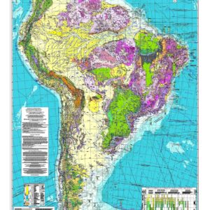
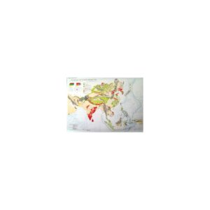
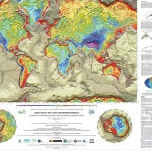
The leaf Physiography, volcanoes and astroblemsThe 2010 edition of the 1:50 000 000 map is still available and can be used as a useful complement to this new map for three reasons: 1) the physiography of the globe is complete and detailed, including isobaths every 1000 m; 2) as it is centred on the Pacific, it gives an overall view of this ocean, which contains most of the planet's subduction zones and hot spots; 3) the representation of active volcanoes can be related to the subduction zones
Geological map of the world at 1:35 M-PDF
Some indications concerning the geology:
a map showing
- continental crust/oceanic crust boundary
- major continental faults and oceanic fracture zones
- axes of oceanic spreading ridges; subduction zones; sedimentary accretionary prism fronts
- oceanic morphostructures (seamounts, traces of "hot spots", etc.)
- representation of the continental shelf (< 200 m)
- subdivision of the Proterozoic into its 3 eras
- mapping of the "Large Magmatic Provinces" (LMP) since the end of the Paleozoic (continental trapps, "oceanic shelves") with indication of the average age of the major volcanic episode
- representation of 45″ hot spots".
- deformation zones in the oceanic crust (diffuse boundary) between certain plates
- Meso-Cenozoic ophiolites, etc.
This sheet contains a legend for the land areas, another for the underwater areas and a box corresponding to the 45 "hot spots".
Geological map of the world at 1:35 M-PDF
Explanatory notes focusing on the comments of the different captions are available for free download in pdf format (French version), to download them click here.
In summary, this map aims to give a better global visualisation of the mega-structures and large geological ensembles that have resulted from the 4.5 billion years of complex history of our planet.
Geological map of the world at 1:35 M-PDF