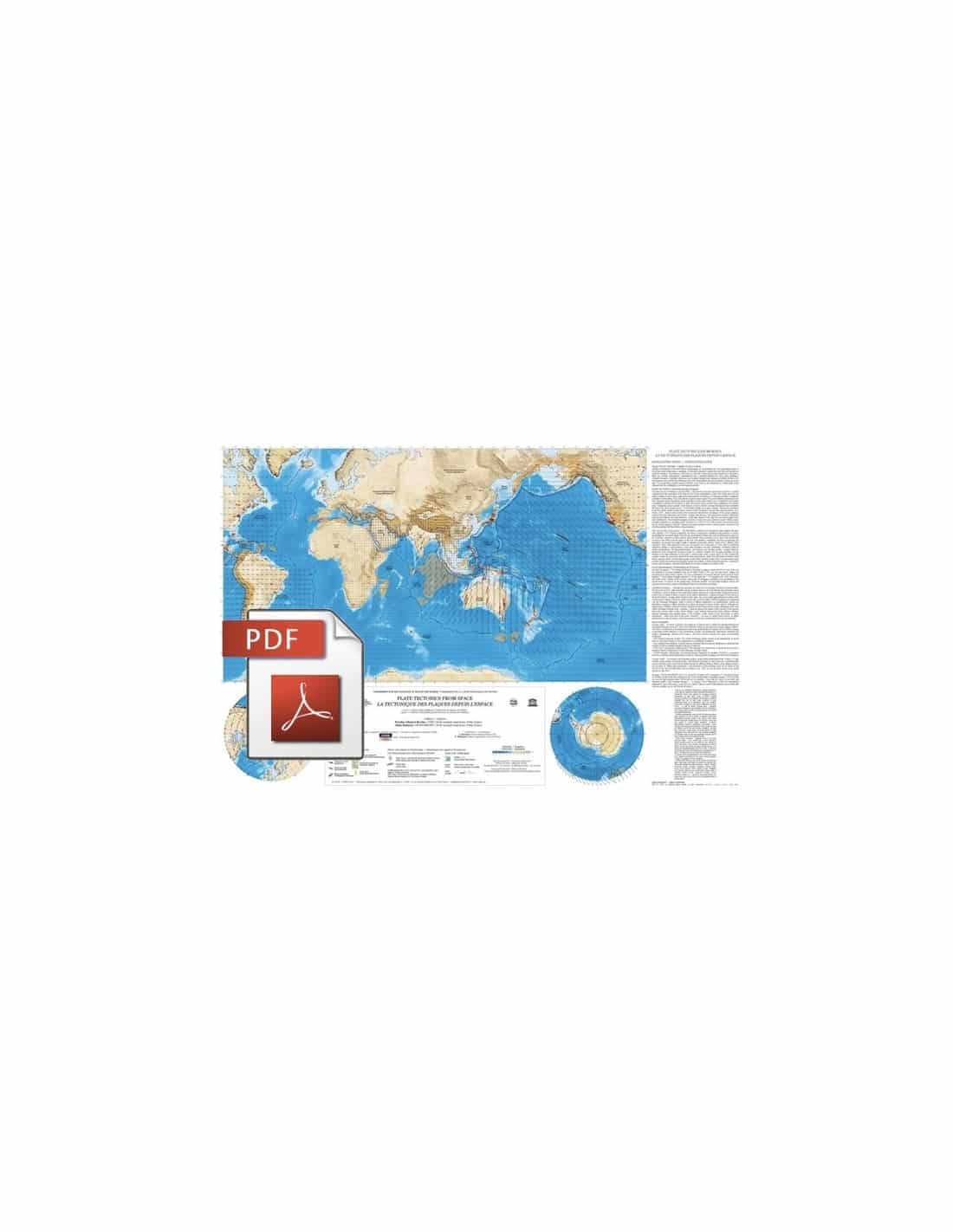


Plate Tectonics from Space-PDF
53,00 €
Plate Tectonics from Space-PDF
Equatorial scale: 1:50,000,000 - For the North and South Poles: polar stereographic projection
1 sheet size: 99 x 67 cm
© CCGM 2006
Authors :
N. Chamot-Rooke (CNRS - Ecole Normale Supérieure de Paris)
A. Rabaute (GeoSubSight - Ecole Normale Supérieure de Paris)
Availability: In stock
Description
Plate Tectonics from Space-PDF
Scanned version in high resolution .pdf format, sent by download link.
Note: This map is subject to a licence agreement.
This map is also available in digital .pdf format in our catalogue.
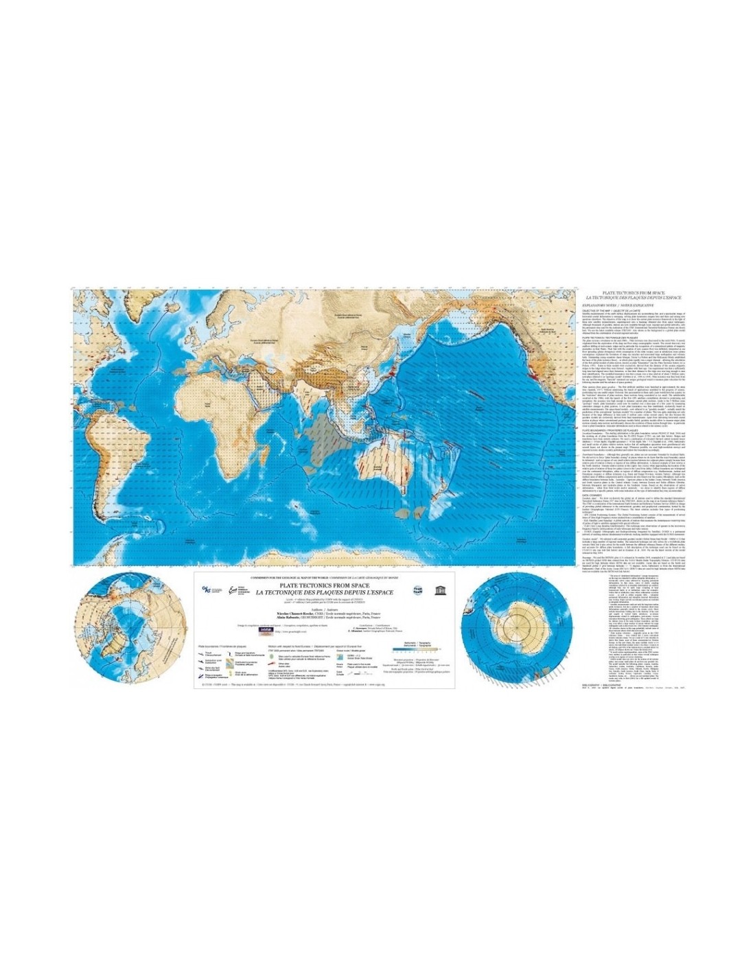
Satellite measurements of the movement of the lithospheric plates that carve up the Earth's surface have made rapid progress in recent years. Spectacular images of the horizontal deformation of the Earth's crust are pouring in at a rapid pace, solving some of the enigmas of plate kinematics locally, and raising new questions elsewhere.
The aim of Plate Tectonics from Space-PDF is to show the current framework of plate tectonics in the light of these new satellite measurements, superimposed on a physiographic background also derived from space techniques.
Although there are now thousands of geodetic stations that can be used across local, regional and global networks, only the permanent sites used to create the ITRF (International Terrestrial Reference Frame) have been used for this map.
The ITRF2005 version was used to produce this map. These geodetic measurements of the displacements actually observed are indicated by red arrows. A global model of plate movements, deduced from the combination of several regional networks, is also shown on the entire map, using a regular grid of grey arrows.
Plate Tectonics from Space-PDF
It should be stressed that this new map has been produced on a completely new basis. Until recently, plate kinematics models were based on the indirect method, using magnetic anomalies in oceanic crust that is several million years old.
This hitherto conventional method is known as geological modelling, in contrast to the new method based on spatial geodesy and known as geodesic modelling. It should be noted that the latter has confirmed the validity of "geological modelling" for a number of plates.
This was quite surprising, not only because of the vast difference in the time scales involved in each of the two methods (3 million years vs. a few years), but also because geodetic models are (until now) based solely on measurements taken by stations located on land.
As well as being able to give horizontal crustal movements in places where conventional geological models are inoperative, geodetic models make it possible to reassess the movements of the main plates (steady-state movements) and also to examine the evolution of these movements over time - particularly near plate boundaries (transient deformations, such as those linked to the seismic cycle).
Plate Tectonics from Space-PDF
Not all plates are necessarily bounded by well-localised faults, and diffuse boundaries are also widespread within the continental lithosphere, in regions of diffuse compression (e.g. the Mediterranean, Andes and Himalayas) or diffuse extension (e.g. the Basin and Range province in the USA, western Turkey).
Although less well studied, zones of compression and/or diffuse extension also exist in the oceanic lithosphere, such as the diffuse boundaries between the India-Australia-Capricorn plates (Indian Ocean), between the North America and South America plates (Central Atlantic), and between the Macquarie and Australia plates (Southern Ocean).
Based on the observation of active deformation - from fieldwork or seismicity - it has been decided to characterise these regions of diffuse deformation by a specific figure (light brown), supplemented locally by a few indications of the type of deformation they are undergoing (bright yellow arrows).
Plate Tectonics from Space-PDF


