As part of our commitment to the environment, we are in the process of switching to a more environmentally-friendly hosting provider. The site is currently being prepared for this transition.
Orders are temporarily suspended while the migration is finalised.
Thank you for your patience and support.
We look forward to seeing you soon with an even more ethical and efficient site!
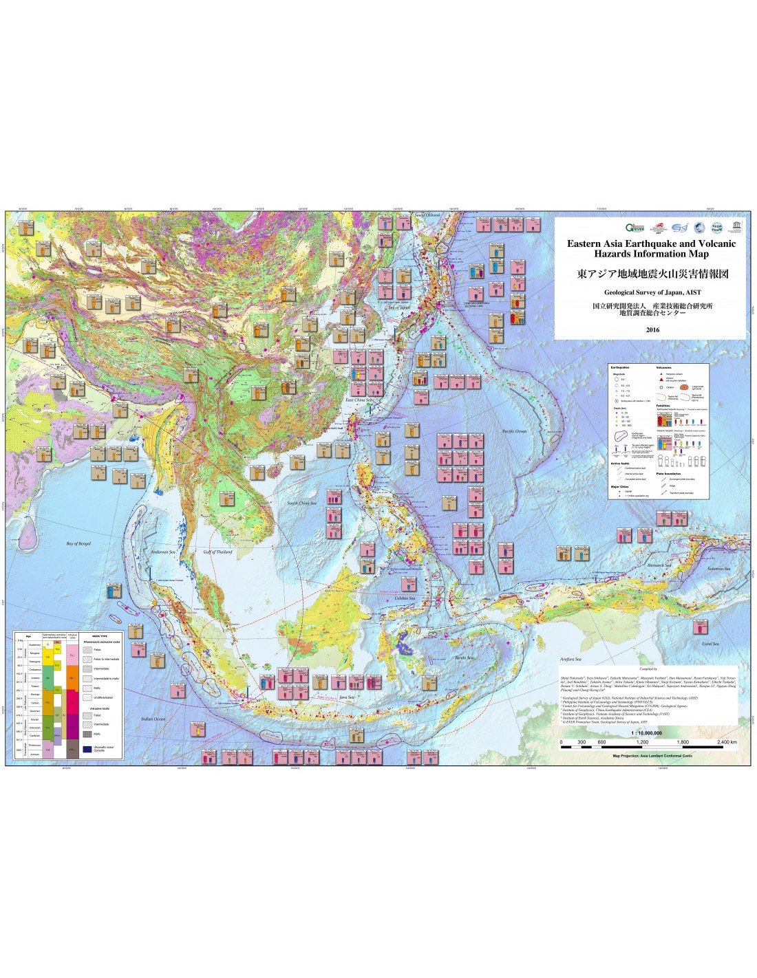
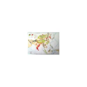
East Asia Seismic and Volcanic Hazard Information Map
10,50 €
East Asia Seismic and Volcanic Hazard Information Map
1st edition, scale 1:10 000 000
Lambert Conformal Conic Projection
Dimensions: 119 x 84 cm - front/back
Authors: See below
Geological Survey of Japan, AIST, 2016
East Asia Seismic and Volcanic Hazard Information Map
Description
East Asia Seismic and Volcanic Hazard Information Map
East Asia is a region of the world where the risk of natural disasters such as earthquakes, tsunamis and volcanic eruptions is very high. In a globalised economy such as ours, when a major disaster occurs, a series of unforeseeable disorders can affect not only the region concerned, but also the rest of the world. Putting in place measures to prevent such disasters is essential if we are to achieve sustainable development.
The authors of this work are convinced that it is absolutely essential to make every effort to develop an international framework to reduce, as far as possible, the risks associated with seismic events, tsunamis and volcanic eruptions. The earthquakes in Sumatra on 26 December 2004 and in Tohoku on 11 March 2011 clearly demonstrate the urgent need to create an information and knowledge system for exceptional natural hazards.
The emission of ash from the Icelandic volcano Eyjafjallajökull in April 2000 caused the cancellation of more than 20,000 commercial flights a day in Europe, resulting in the greatest disruption to air transport since the Second World War. The G-EVER (Asia Pacific Region Earthquake and Volcanic Eruption Risk Management) consortium promotes seismic and volcanic risk reduction activities through collaboration between different research institutes around the world.
The Information map on seismic and volcanic risks in East Asia is the result of collaboration between the G-EVER promotion team based at the Geological Survey of Japan, AIST, and other geological institutes in South and East Asia.
The map includes a wealth of data on natural hazards in this part of the world, as well as geological and tectonic information: distribution of active faults, earthquake hot spots and source zones, active volcanoes, calderas, large-scale ignimbritic and ash emissions, number of deaths in major disasters resulting from volcanic eruptions, earthquakes and tsunamis. This work is accompanied by downloadable explanatory notes (in English only). here.
The number of victims, in the case of earthquakes and volcanic eruptions, has been classified according to the main cause of death and formalised graphically in order to facilitate the reading of the magnitude of the damage resulting from these disasters. The map data can be viewed, consulted and downloaded from the G-EVER website http://ccop-geoinfo.org/G-EVER/. The jpg file of the map can be downloaded from the website: https://www.gsj.jp/data/ASIA/JPG/GSJ_MAP_ASIA-E_HZD02_2016_300dpi.zip
"Eastern Asia Earthquake and Volcanic Hazards Information Map" is the first map compiled and published by the G-EVER Consortium. The aim of this document is to provide a powerful tool and an indispensable source of information for risk reduction policies.
East Asia Seismic and Volcanic Hazard Information Map
Authors:
Shinji Takarada1*Yuzo Ishikawa1*Tadashi Maruyama1*Masayuki Yoshimi1*Dan Matsumoto1Ryuta Furukawa1*Yoji Teraoka1Joel Bandibas1*Takashi Azuma1*Akira Takada1Kimio Okumura1Naoji Koizumi1Yasuto Kuwahara1*Eikichi Tsukuda1Renate U. Solidum2Arturo S. Daag2Mabelline Cahulogan2Sri Hidayati3Supriyati Andreastuti3Xiaojun Li4Nguyen Hong Phuong5 and Cheng-Horng Lin6
1 Geological Survey of Japan (GSJ), National Institute of Industrial Science and Technology (AIST)
2 Philippine Institute of Volcanology and Seismology (PHIVOLCS)
3 Center for Volcanology and Geological Hazard Mitigation (CVGHM), Geological Agency
4 Institute of Geophysics, China Earthquake Administration (CEA)
5 Institute of Geophysics, Vietnam Academy of Science and Technology (VAST)
6 Institute of Earth Sciences, Academia Sinica
* G-EVER Promotion Team, Geological Survey of Japan, AIST
East Asia Seismic and Volcanic Hazard Information Map
Informations complémentaires
| Weight | 0,115 kg |
|---|---|
| Dimensions | 118 × 84 cm |
| Packaging | Tube (e.g. rolled card), Envelope (e.g. folded card or booklet) |
| Length | |
| Width | |
| Weight | |
| Scale |

