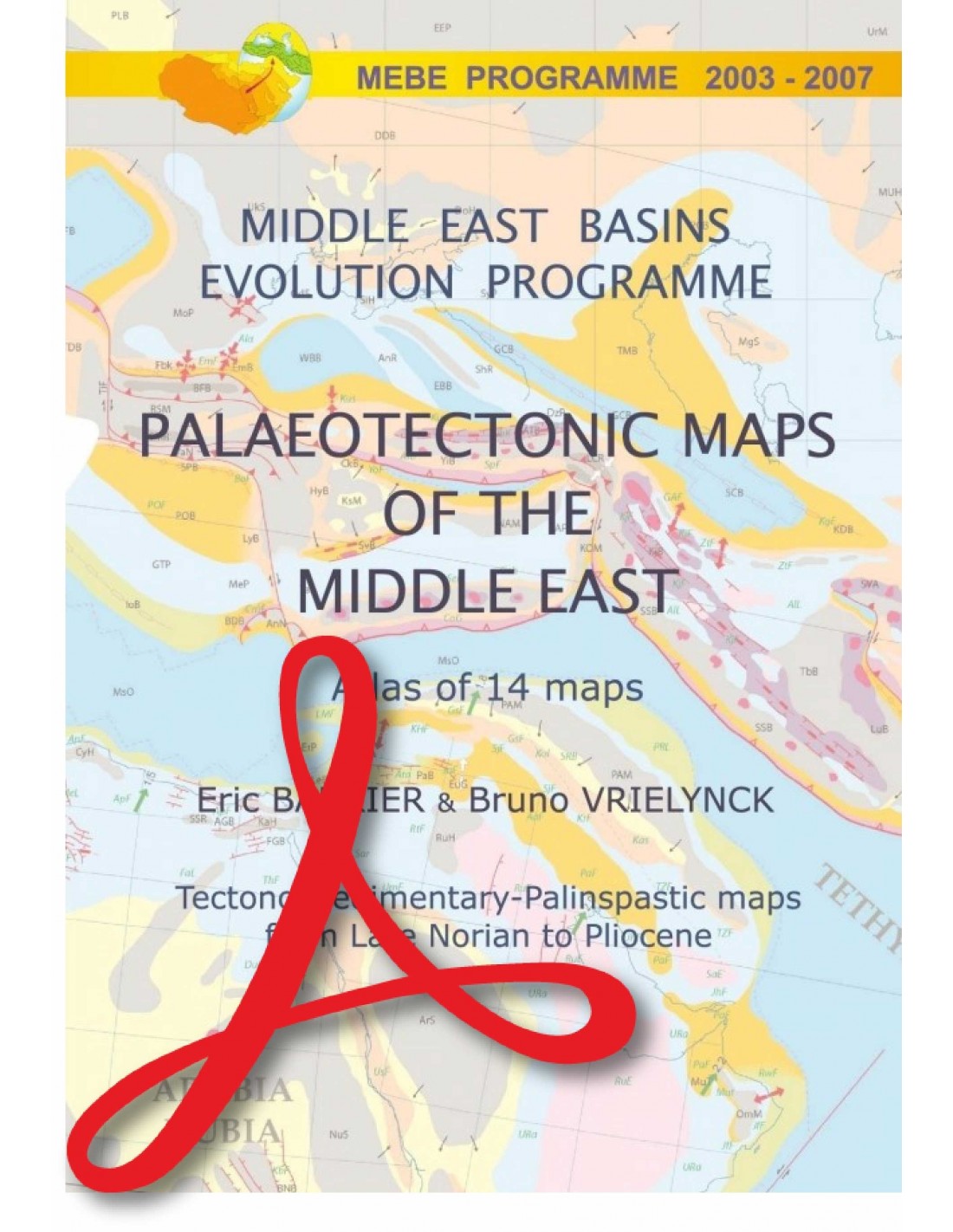
Atlas MEBE - PDF - Paleotectonic Maps of the Middle East
105,00 €
Scale at the equator: 1:18,500,000
Mercator projection Authors: Eric Barrier and Bruno Vrielynck (CNRS-Université Pierre et Marie Curie)
CCGM-CGMW © 2008
Digital version in high-resolution .pdf format, sent by download link.
Availability: In stock
Description
MEBE-PDF Atlas
Note: This atlas is subject to a licence agreement.
MIDDLE EAST BASINS EVOLUTION PROGRAMME (MEBE)
RECONSTRUCTING THE EVOLUTION OF THE MIDDLE EAST SINCE THE MESOZOIC ERA
The 4-year MEBE programme brought together the efforts of major oil companies (BP, ENI, PETRONAS, SHELL, TOTAL) and French research institutions (INSU-CNRS, UPMC). MEBE brought together a group of scientists with expertise in several areas of tectonics (structural analysis, paleostress reconstructions, subsidence modelling), stratigraphy (paleontology, sequence stratigraphy, sedimentology, organic matter analysis), petrography, kinematics and geophysics. Its aim was to characterise the major tectonic events and establish a precise chronology of the tectonic evolution of the Middle East from the Upper Norian to the Pliocene.
From 2003 to 2007, 26 scientific projects were funded in 14 Middle Eastern countries, including the Black Sea, the Caucasus, northern Iran, the Zagros, the Arab margins and the Levant region. Each research team brought together European and local scientists. Around 300 researchers from 28 countries representing 100 universities and research organisations were involved in the Atlas MEBE-PDF programme. A final 2-day conference was held in Paris at the UPCM in December 2007, attended by 150 participants. The results of the programme were presented in 70 papers on the geology of the Middle East.
The work of the MEBE Atlas has led to the following publications:
1) 4 special issues of GSL (Black Sea-Caucasus, South Caspian-Central Iran, Zagros, Levant margins)
2) an atlas of 14 palaeotectonic maps showing the geodynamic and tectonic evolution of the Middle East since the Upper Triassic.
Our palinspastic reconstruction begins after the end of the Late Triassic Eo-Cimmerian orogeny. We distinguish two major periods: pre- and post-Arabian-Eurasian collision. The palaeotectonic maps are based on an updated kinematic reconstruction of the movements of Africa-Arabia in relation to Eurasia. In 14 stages, the maps show: 1) the main tectonic features, including rifts, basins of various types, main mountain ranges and folded belts, main strike-slip faults, subduction zones, accretionary prisms, etc.; 2) the main palaeofacies.
MEBE-PDF Atlas
For the palinspastic reconstruction, we have adopted several hypotheses concerning the age and origin of the major tectonic events. For the pre-collision period, we assume that :
1) Up until the Arabian-Eurasian collision, the Neo-Thysian ocean was subducted at a northerly angle under the southern Eurasian margin for 170 Ma;
2) The eastern Mediterranean basin opened up in the Jurassic after rifting in the Triassic;
3) on the North Arabian margin, grabens opened up in the Senonian during obduction of the peri-Arabian ophiolites;
4) marginal and back-arc basins opened up on the Eurasian margin between the Jurassic and Middle Cretaceous (Black Sea basins, Great Caucasus basin, South Caspian basin, Central Iran basins) in connection with Neo-Thysian subduction;
5) short regional compressions leading to basin and margin inversions occurred in the Middle Jurassic, Upper Cretaceous and Terminal Cretaceous-Paleogene.
As far as the collision period is concerned, we assume that :
1) The first compressional deformations linked to the Arabian-Eurasian collision occurred in the Upper Eocene;
2) this early stage of the collision involved only the Eurasian and Arabian margins and lasted until the Lower Miocene;
3) the continent-continent collision began in the Neogene, giving rise to the main orogenic belts in the Middle East (i.e. mainly the Caucasus-Alborz, southern Turkey and the Zagros ranges).
Contributors :
F. Bergerat (CNRS-UPMC), M.-F. Brunet (CNRS-UPMC), J. Mosar (University of Fribourg, Switzerland), A. Poisson (Marcoussis, France) and M.Sosson (Géosciences Azur, France)
Design and model :
J.-F. Brouillet (CNRS-UPMC) and D. Pasquier (UPMC)
NOTE: The maps are published in English only.

