
Tethys Atlas of Paleoenvironmental Maps
63,00 €
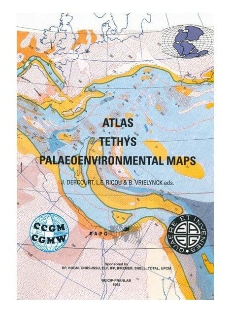
Atlas Tethys
Atlas with 14 maps (2 sheets for each time period from the Aptian onwards, 21 sheets in total) and 1 volume of EXPLANATORY NOTES explaining the 14 main stages (text in English with a summary in French)
The set of maps (folded) and the explanatory notes are contained in an A4 box (weight 3.6 Kg). Published in 1993
Availability: In stock
Description
Atlas Tethys
This landmark work presents a revised kinematic reconstruction of the Tethyan plates and microplates from the Middle Permian to the Late Miocene, covering the following stages over a period of about 260 million years:
Murghabian, Anisian, Canian, Toarcian, Callovian, Kimmeridgian, Tithonian, Aptian, Cenomanian, Maastrichtian, Lutetian, Rupelian, Burdigalian and Tortonian.
Paleolatitudes are indicated on each map using a grid.
Atlas Tethys
The strengths of this document are
- Updated map of the break-up of Pangea
- The geodynamic context: accretionary axes, subduction zones, back arcs, paleopositions of the continents, etc.
- Environmental features divided into 15 different types covering oceans, platforms, sub-series areas.
- The facies (18 categories) are superimposed as appropriate (field or survey data).
- As a result, facts are clearly separated from assumptions. The maps also show minerals of economic interest (coal, phosphate, bauxite, gold).
Atlas Tethys
This document is the result of the coordinated effort of 120 academic geologists from different countries and working in a number of international institutions. Field research and correlative analyses were conducted in crucial regions (Guatemala, Venezuela, Morocco, Tunisia, Hungary, Romania, Bulgaria, Turkey, Caucasus, Georgia, Thailand and Indonesia).
Throughout the five years of this programme, the following institutions supported this extensive research work: British Petroleum, Elf Aquitaine, Total, Shell, the French Petroleum Institute, IFREMER, BRGM (National Geological Survey), CNRS and the Pierre and Marie Curie University (Paris).
The publishers:
- Professor Jean DERCOURT (Pierre and Marie Curie University, Paris). Member of the Académie des Sciences, Vice-President of the Academia Europea, Honorary President of the Commission of the Geological Map of the World. Born in 1935, field geologist, specialist in the geology of the Eastern Mediterranean and Western Canada. Since 1970, he has devoted part of his research to paleogeography.
- Dr. Luc-Emmanuel RICOU, CNRS Research Director at Pierre and Marie Curie University (Paris). Editor of Geodynamica Acta (Masson, Paris). Born in 1938, field geologist, his research work focuses on the tectonics of the Middle East and Eastern Europe.
- Bruno VRIELYNCK. CNRS researcher at the Pierre and Marie Curie University (Paris). Born in 1951, field geologist and palaeontologist, specialised in conodonts. Since 1987, he has been responsible for the digitisation of palaeontological, stratigraphic and palaeoenvironmental data for the UPMC research programmes.
Atlas Tethys
Informations complémentaires
| Weight | 2,6 kg |
|---|---|
| Packaging | |
| Length | |
| Width | |
| Thickness | |
| Weight | |
| Scale |


