A new look for our website! 🌱
As part of our commitment to the environment, we are in the process of switching to a more environmentally-friendly hosting provider. The site is currently being prepared for this transition.
Orders are temporarily suspended while the migration is finalised.
Thank you for your patience and support.
We look forward to seeing you soon with an even more ethical and efficient site!
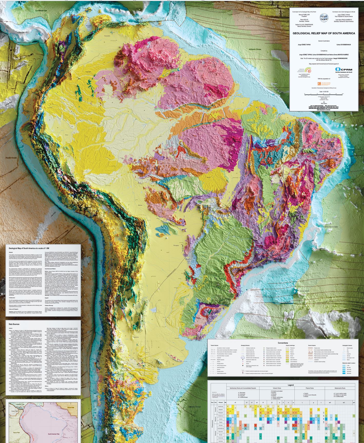
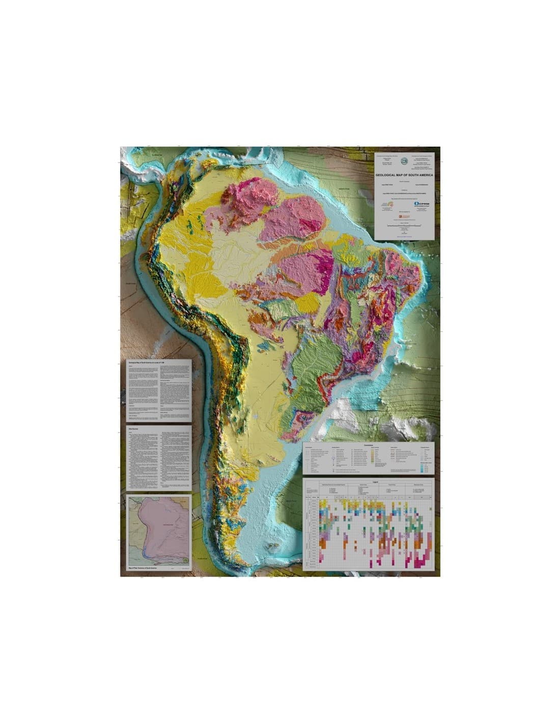
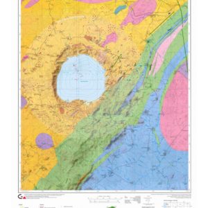
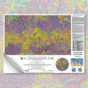
Geological relief map of South America
27,00 €
Geological relief map of South America
2D printed paper map
2022
Scale: 1:5,000,000
Projection: polyconics Card size: 128 x 96 cm (1 sheet)
Co-publication CCGM - Servicio Geológico Colombiano - CPRM Serviço Geológico do Brazil (2022) - ASGMI Compiled by Jorge GÓMEZ TAPIAS, Carlos SCHOBBENHAUS and Nohora Emma MONTES RAMÍREZ. STRM: Shuttle Radar Topography Mission General Bathymetric Chart of the Oceans
DEM: Digital Elevation Model
Description
Geological relief map of South America
The process of elaborating the 3D models is carried out with the Blender 3D software. It is a modelling tool that allows a schematic representation through a set of objects and elements, shadows and textures added to an initial 3D surface generated with a DEM (GEBCO). The work, when rendered, would become a 3D image, which will have a resolution of 90 arc seconds (STRM90).
The Geological Map of South America in Relief corresponds to the new edition of the Geological Map of South America 2019 (GMSA), at a scale of 1:5 M, and was drawn up by the South America sub-commission of the Commission for the Geological Map of the World (CGMW). It was approved by the General Assembly of the CGMW held in Oslo (Norway), during the 33rd International Geological Congress.
This third version of the Geological Map of South America in Relief was prepared with the cooperation of the Association of Ibero-American Geological and Mining Surveys (ASGMI), the Geological Surveys of Argentina, Brazil, Chile, Colombia, Ecuador, Peru and Uruguay, as well as several additional universities and research institutes mentioned in the contributors' information.
The sub-commission adopted a methodology integrating the geological information of each country in the following way. Firstly, a new code was generated for each chronostratigraphic unit according to the proposed legend, using digital layers provided by the geological surveys of each country. Secondly, symbology and colours were created with patterns representative of the rock types and colours corresponding to the ages. Finally, a map with coded units was prepared at a scale of 1/5 M.
In order to generalise and link the units by hand, the GMSA was printed at a scale of 1/3 M with the new coding. The GMSA was then digitised and georeferenced to generalise the geological units, faults and folds at a scale of 1:5M. Once this was done, and despite the small scale of the map, the chronostratigraphic units, faults and folds on the map were adjusted using shaded relief imagery (NASA STRM) to improve the match between relief and mapped geological units. Finally, the geology between countries has been harmonised. It should be noted that the updating of the GMSA was carried out by consulting internationally indexed published articles.
The Geological Relief Map of South America is based on a polyconic projection (latitude × longitude), centred on the meridian -59°, datum WGS - 1984. Offshore data were extracted from the Tectonic Map of South America at a scale of 1/5.9M (Cordani et al., 2016); Seafloor Topography from the GEBCO 08 grid, version 20100927; and Crustal Age Grid: NCEI / NOAA.
Informations complémentaires
| Weight | 0,165 kg |
|---|---|
| Dimensions | 128 × 96 cm |