A new look for our website! 🌱
As part of our commitment to the environment, we are in the process of switching to a more environmentally-friendly hosting provider. The site is currently being prepared for this transition.
Orders are temporarily suspended while the migration is finalised.
Thank you for your patience and support.
We look forward to seeing you soon with an even more ethical and efficient site!
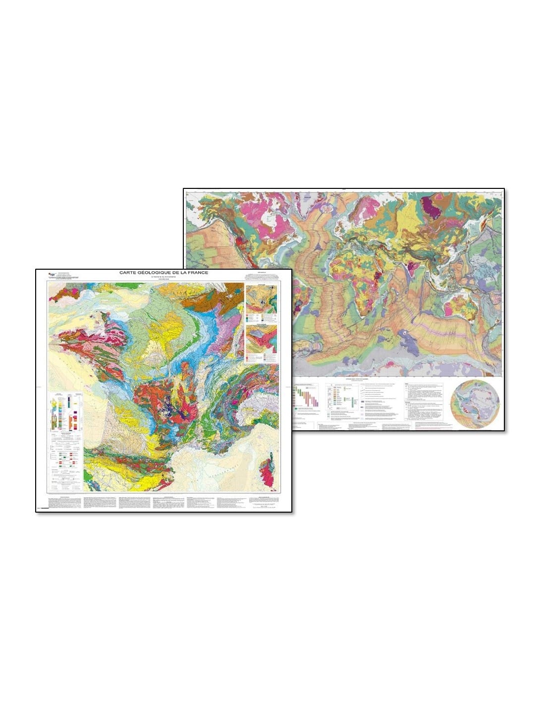
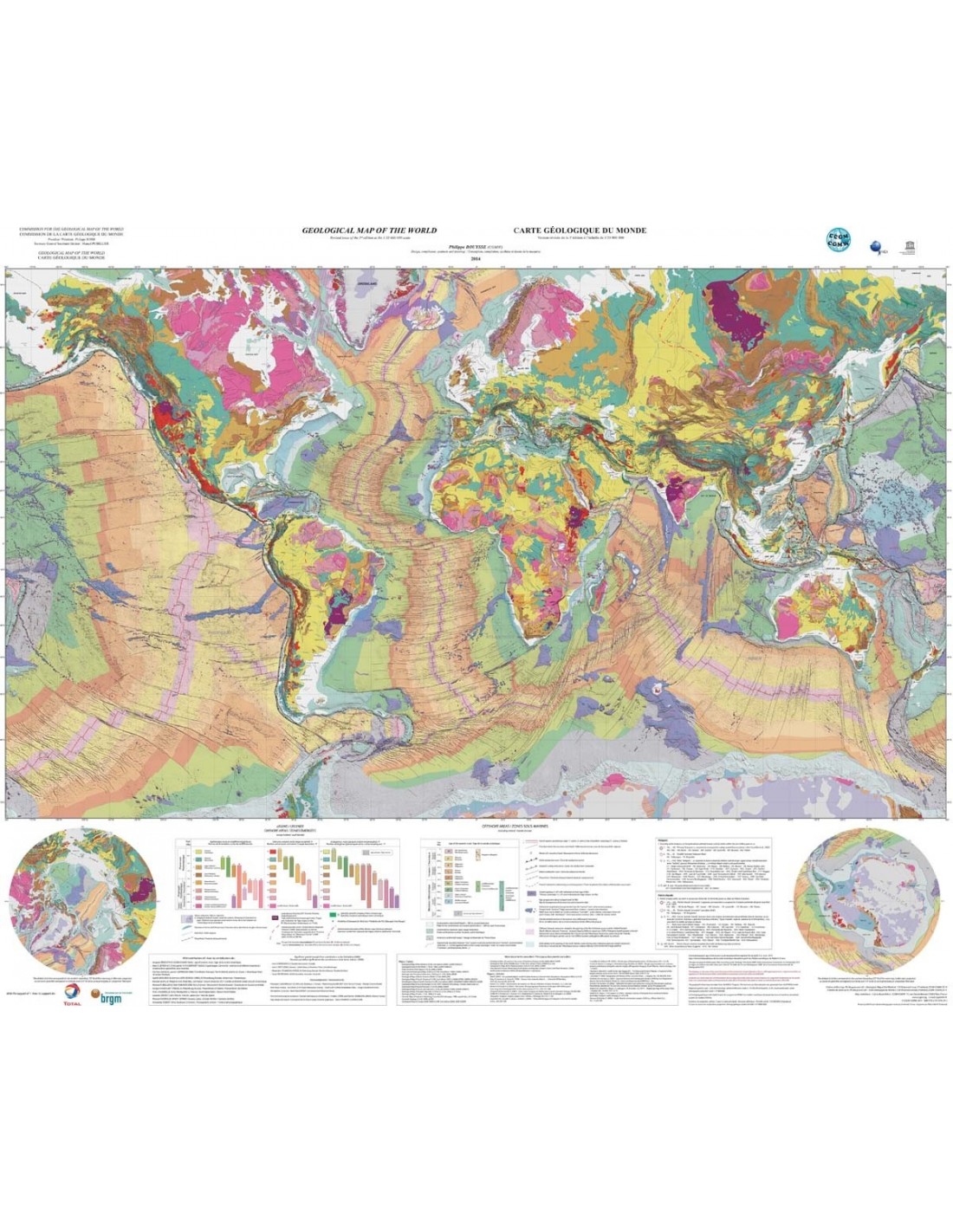
Geological maps pack World + France
53,00 €
Geological maps pack World + France
Pack geological map of the world + geological map of France
Folded cards only
Description
Geological maps pack World + France
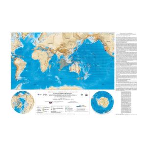
- Geological map of the world at a scale of 1:35,000,000
Scale: 1/35 000 000
Main map projection: Mercator
Circum-polar area projection: polar stereographic
Dimensions: 118 x 98 cm, 1 sheet
Geology, structure (Atlantic-centric)
Author: Philippe Bouysse (CCMG) et al. Card printed on laminated paper https://ccgm.org/fr/accueil/164-carte-geologique-du-monde-a-l-echelle-de-135-000-000-9782917310243.html
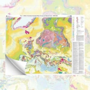
- Geological map of France to the millionth scale
6ème revised edition (2003)
Scale: 1:1 000 000
Projection: Lambert II extended
Geodetic system: NTF (New French Triangulation)
Ellipsoid: Clarke 1880 IGN
Dimensions: 118 x 124 cm
Authors: Jean Chantraine, Albert Autran, Claude Cavelier et al.
Geological maps pack World + France
Informations complémentaires
| Weight | 0,24 kg |
|---|---|
| Packaging |