

Peri-Tethys Atlas of Paleogeographic Maps-PDF
105,00 €
Peri-Tethys Atlas of Paleogeographic Maps-PDF
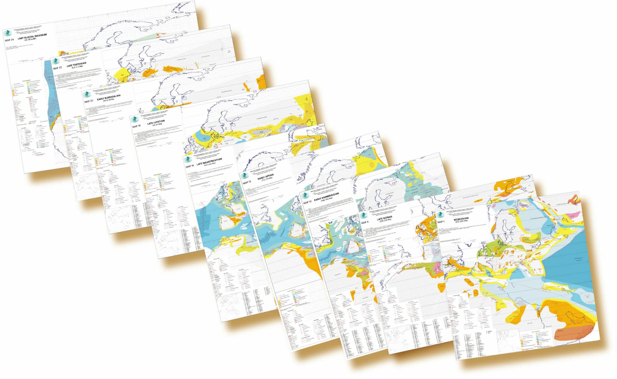
24 cards, each with a legend
Only available in pdf format.
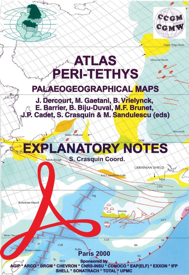
Explanatory notes in English, S. Crasquin, Coordinator
Editors: J. Dercourt, M. Gaetani, B. Vrielynck, E. Barrier, B. Biju-Duval, M.F. Brunet, J.P. Cadet, S. Crasquin and M. Sandulescu
Paris, 2000
Availability: In stock
Description
Peri-Tethys Atlas of Paleogeographic Maps-PDF
Note: This atlas is subject to a licence agreement.
The Peri-Tethys Atlas of Palaeogeographic Maps is the result of an international programme that federated between 1994 and 1999 the efforts of 13 academic institutions and a number of public and oil companies (BRGM, Elf, IFP, Agip, Arco, Chevron, Conoco, Exxon, Shell, Sonatrach Total), under the overall coordination of the University of Pierre et Marie Curie. The Atlas presents paleogeographic reconstructions of the Tethys margins covering the period between the Muscovian (Upper Paleozoic) and the Last Glacial Maximum. More than 250 scientists from 30 countries have contributed to the Atlas. The totality of the publications resulting from this programme includes articles by more than 1000 authors.
Contents of the Atlas
The set includes 24 maps at 1:10,000,000 scale for each of the periods listed below and a volume of explanatory notes in English.
|
|
|
The elements of the legend include :
- 16 sedimentary environments
- 21 rock types
- Paleography of the coastline, marine currents or hydrosedimentary flow patterns
- Water balance (e.g. thermohaline convection with deep stagnation in isolated basins)
- Trends in regional sediment transfers
- Wind traffic
- Tectonic symbols
Peri-Tethys Atlas of Paleogeographic Maps-PDF covers a period of 300 Ma and illustrates :
- The evolution of sedimentary zones in relation to tectonic extension and compression
- Sedimentary deposits of eustatic origin
- Compression-related pools
- Permanently exposed areas
To determine the events that occurred during the short periods represented in each map (3 to 5 Ma), it was necessary to :
- Establish precise chronostratigraphic scales, especially paleontological scales;
- to determine the stress regimes and establish the relevant interpretations in the context of plate tectonics, and
- undertake geodynamic analysis of the filling and deformation processes of the main basins.
Peri-Tethys Atlas of Paleogeographic Maps-PDF allows :
- The study of climatic variations associated with the extension of epicontinental seas, the evolution of landforms and their influence on facies (78 have been characterised, 21 of which are of major importance);
- to determine the extension of biotopes, which are essential for understanding their palaeontological evolution;
- predict the behaviour and filling characteristics of sedimentary basins, and
- monitor the tectonic evolution of the peri-Tethyan platforms.
The list of publications (Memoranda and correlations) that complete the Atlas can be downloaded here.
Sponsors: AGIP, ARCO, BRGM, CHEVRON, CNRS-INSU, CONOCO, EAP (ELF), EXXON, IFP, SHELL, SONATRACH, TOTAL & UPMC.


