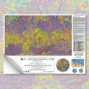


Geohazard map of East Asia
37,00 €
Geohazard map of East Asia
Scale 1:7,700,000
Released in 2002
3 separate sheets (folded)
Format: 102.7 cm x 72.5 cm each + booklet of explanatory notes in English.
Publication of the Geological Survey of Japan, AIST.
Availability: In stock
Description
Geohazard map of East Asia
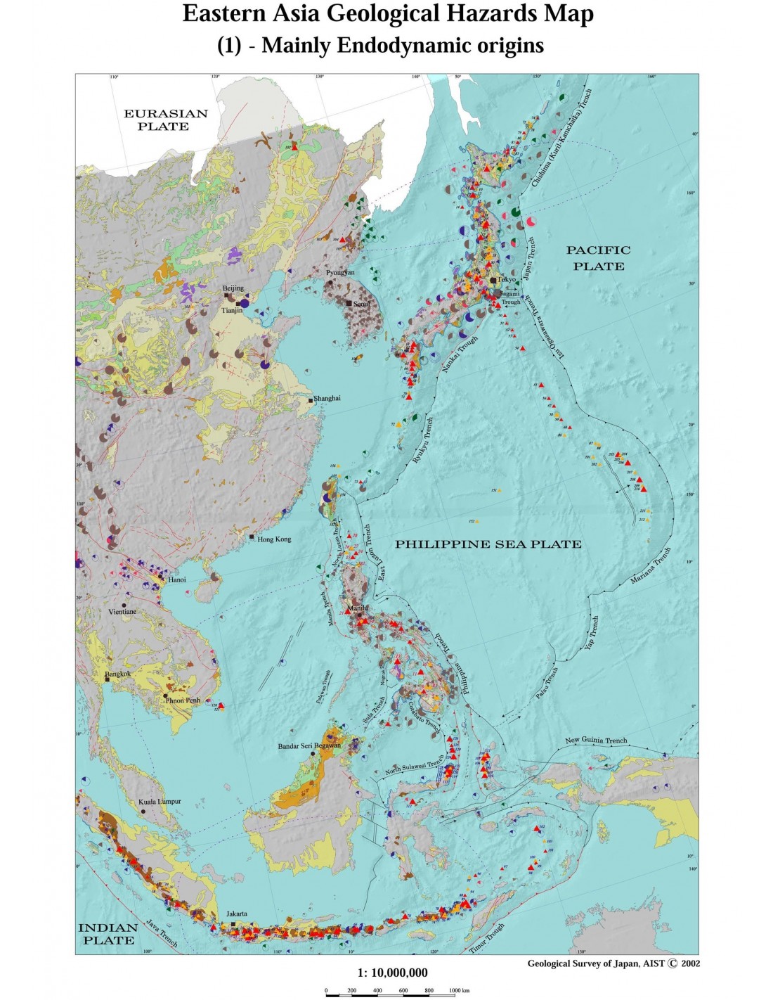
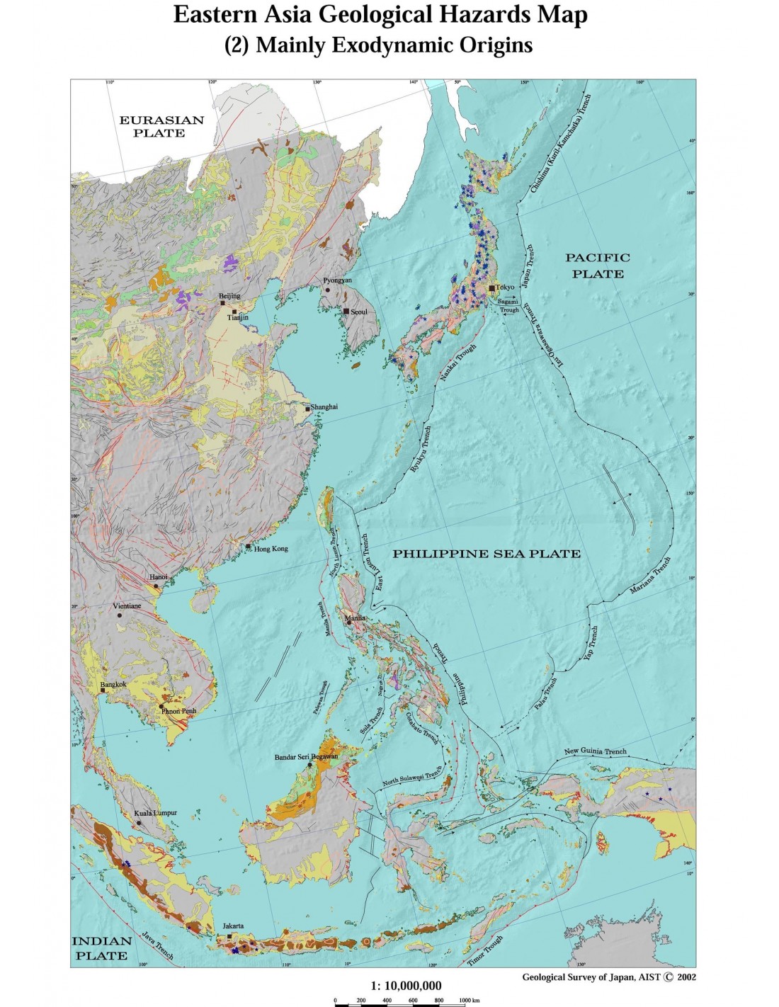
This map shows, at a scale of 1:7,700,000, a general view of the occurrence of hazards and potential risks linked to the geological and tectonic features of the region, and to a lesser extent, to the impact of human activity.
In order to facilitate the representation and readability of all the data compiled, the events have been grouped into two categories: those of endogenous origin, such as earthquakes, including tsunamis, and volcanic eruptions (sheet 1 of the map) and those of exogenous origin (sheet 2), such as landslides, coastal erosion/sedimentation, karstic land collapses, soil subsidence, etc. (sheet 3).
The map covers ten countries: Cambodia, China, Japan, Indonesia, Korea, Malaysia, Myanmar, the Philippines, Thailand and Vietnam.
The geostructural and tectonic background of the continental and oceanic zones, taken from the 1:5,000,000 Geological Map of South and East Asia (CCGM-UNESCO, 1990), takes into account the main elements of geology and plate tectonics as described in the legend (sheet 3).
Geohazard map of East Asia
In addition to an overview of the geology and plate tectonics of the region, the explanatory notes include country-by-country comments on the various hazards as described, with figures and tables to supplement the data on the maps.
This work is the result of the international cooperation programme led by the Geological Survey of Japan, as part of the East Asia Natural Hazards Mapping Project (EANHMP), under the aegis of the International Coordinating Committee for the Coastal and Marine Geoscience Programme (CCOP) and the CCMG.
The aim of the map is to raise awareness among regional and national decision-makers and development policy-makers, as well as the general public, of natural hazards and their impact on the socio-economic development of the countries in the region. This work also meets the objectives of the United Nations International Decade for Disaster Reduction (UN-IDDR) programme.
Overall coordination by Hirokasu Kato (Geological Survey of Japan, AIST) with the collaboration of experts from : Cambodia, China, Japan, Indonesia, Korea, Malaysia, Philippines, Thailand and Vietnam, as part of the East Asia Natural Hazards Mapping Project (EANHMP).
Geohazard map of East Asia
Informations complémentaires
| Weight | 0,47 kg |
|---|---|
| Packaging | |
| Length | |
| Width | |
| Weight | |
| Scale |